WillyLogan.com

Technology, History, and Place

Category: Archeology and monuments (Page 6 of 7)

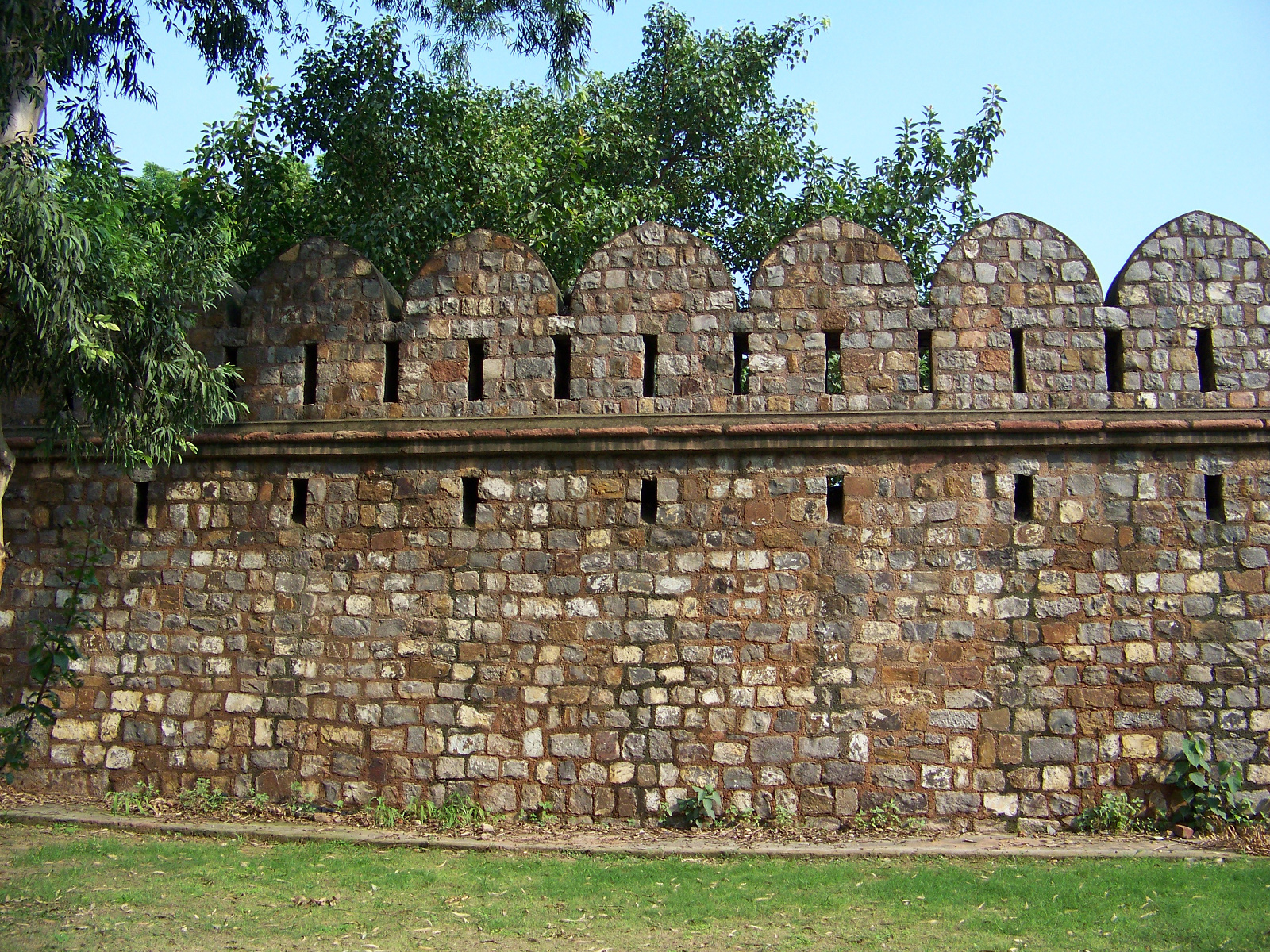
4341-delhi-wall-crenelations_1600px

Old Delhi’s walls and gates

The remains of the fortifications of Old Delhi don’t make it onto most tourists’ itineraries when they visit the city. This is understandable, because Old and New Delhi have a range of world-class tourist attractions – such as the Red Fort, Qutb Minar, and Lutyens’ Delhi – which overshadow the city walls. But as I have found on several visits to Delhi, exploring the remains of the fortifications can be a rewarding experience. From my visits to the gates and walls, I have learned about urban planning, military science from several eras, and adaptive reuse.

Old Delhi was founded in 1639 by Mughal emperor Shah Jahan, who wanted to move his capital to a more suitable location than Agra, which was experiencing problems with drainage, overcrowding, and erosion. The original name of Old Delhi was Shahjahanabad, after the city’s founder. The centerpiece of Shahjahanabad was the Qila Mubarak (Blessed Fortress), now known as the Lal Qila or Red Fort. The fort stands on the eastern side of Shahjahanabad, with its back to the Yamuna River. It served as the royal palace and center of the Mughal government. To the west of the fort, an area of about 1,500 acres was enclosed by city walls built of stone rubble. The walls were broken by eight main gates and several lesser portals.

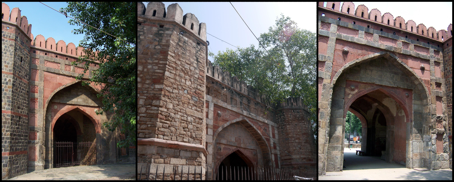
The walled area of Old Delhi still retains its historic identity. It even has its own postal code, 110 006, and it is colloquially referred to as “Delhi-6.” Only fragments of the walls and four of the eight main gates remain, though. On the southern side of Old Delhi, Ajmeri Gate, Turkman Gate, and Delhi Gate still stand on little plots of land, disconnected from the historic walls and surrounded by their own fences and gates.

Left to right: Ajmeri Gate, Turkman Gate, Delhi Gate.

Left to right: Ajmeri Gate, Turkman Gate, Delhi Gate.

Stretching eastward from Delhi Gate are some sections of the old city wall. One stretch of the wall is preserved in a city park, Ekta Sthal (Place of Unity). Only the outer side of the wall is protected, though. The inner side backs up to an alley, and there are several encroachments and illegal constructions built on the historic wall.

Backside of preserved wall segment in Ekta Sthal.

Backside of preserved wall segment in Ekta Sthal.

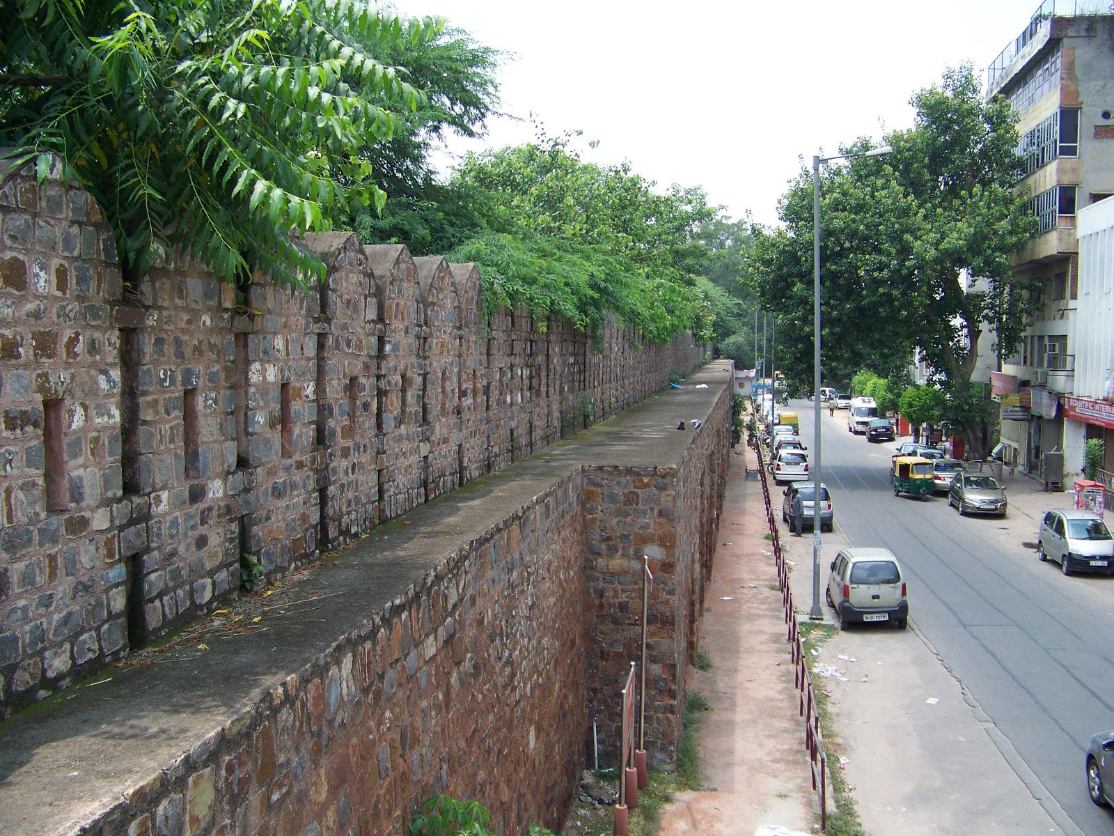
View from ramparts of Delhi's walls.

View from ramparts of Delhi’s walls.

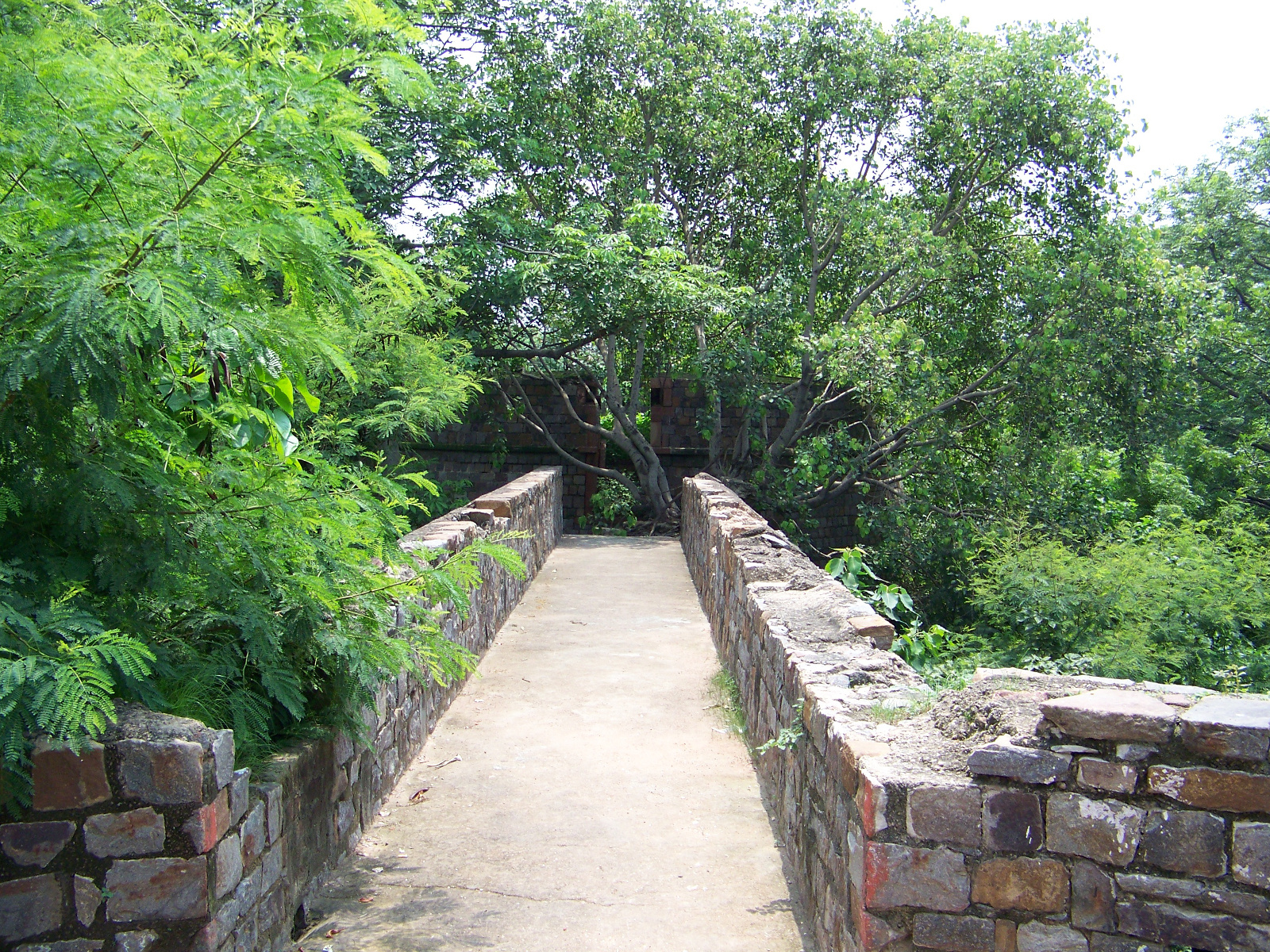
One ramp up to the battlements hasn’t been encroached upon yet, and you can climb up and have a look around. From here you can see a round tower built in front of the wall. The tower doesn’t seem to match the style of the rest of the wall – and it shouldn’t, because it was built by the British in the nineteenth century. It is a Martello tower, designed to hold cannons and serve as an outer defensive post. The British built Martello towers all over their world empire in the nineteenth century.

Walkway to Martello tower.

Walkway to Martello tower.

Martello tower ruins.

Martello tower ruins.

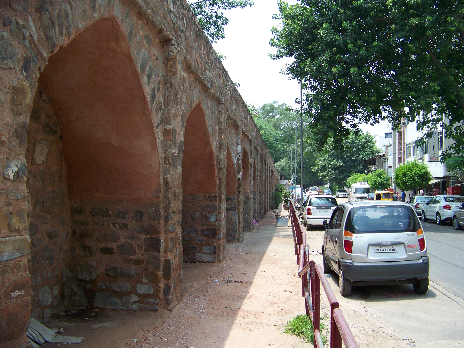
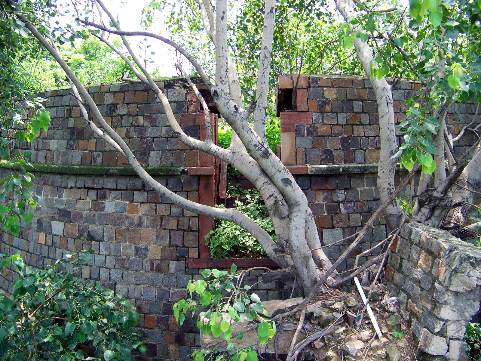
Northeast of Ekta Sthal and the Martello tower, sections of the city wall now serve as retaining walls beneath more modern construction.

Remaining city wall serving as a retaining wall.

Remaining city wall serving as a retaining wall.

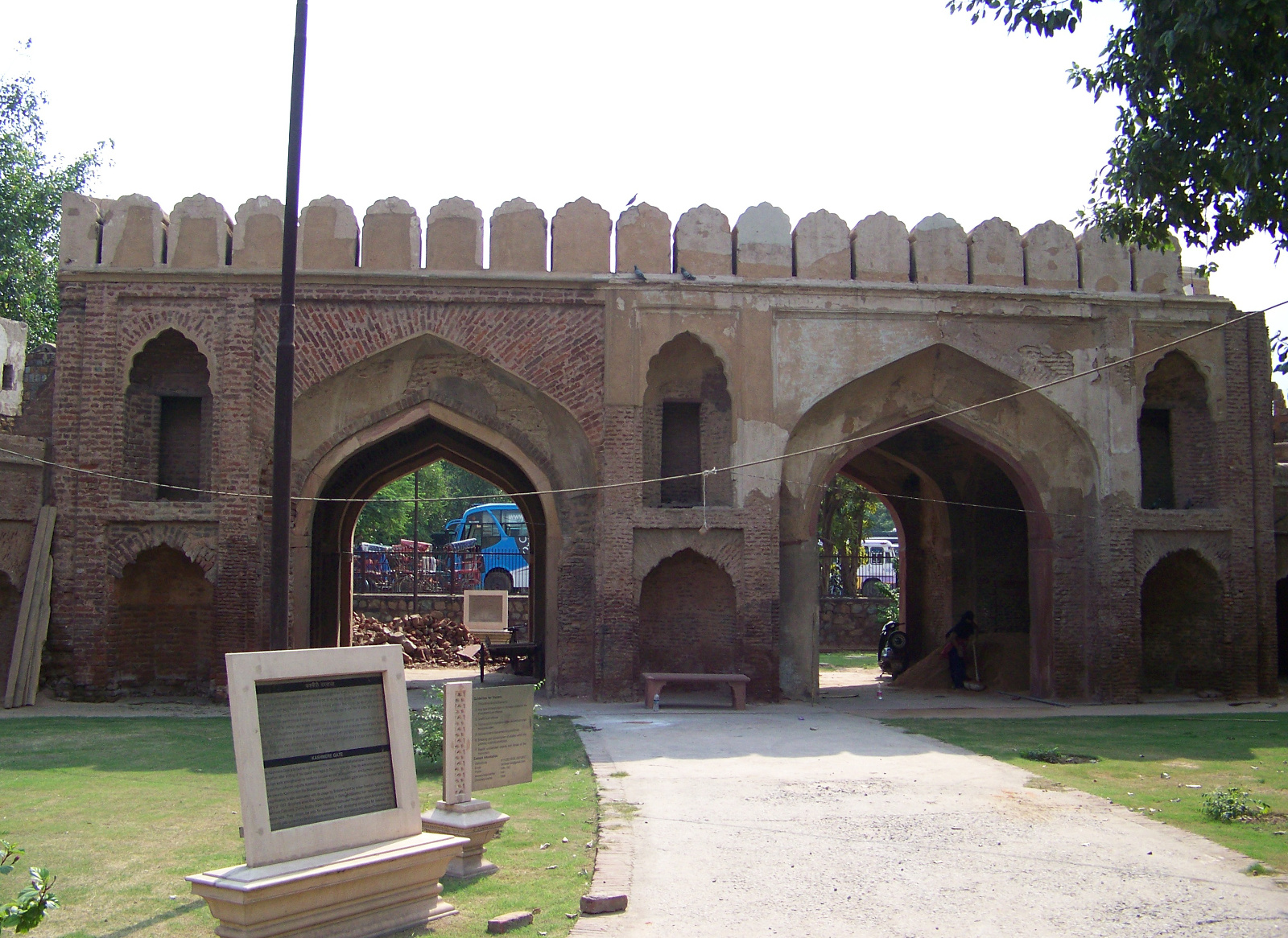
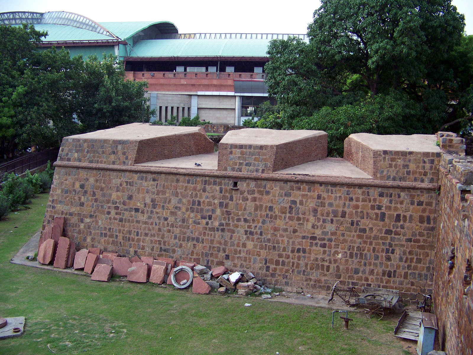
The longest stretches of surviving wall are on the north side of Shahjahanabad, around Kashmiri Gate. Parts of the city’s fortifications are still attached to Kashmiri Gate. Unlike Ajmeri, Turkman, and Delhi Gates, the surviving structure of Kashmiri Gate wasn’t built until the nineteenth century. The gate was constructed in 1835, and then in 1857 it was expanded to have two portals. A bastion next to the gate is built in angular star-fort style, a form of construction that was introduced to India by the British.

Kashmiri Gate, Delhi's only gate with two portals.

Kashmiri Gate, Delhi’s only gate with two portals.

A European-style bastion next to Kashmiri Gate.

A European-style bastion next to Kashmiri Gate.

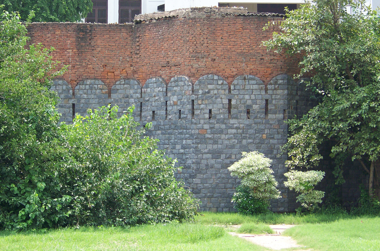
Sections of city wall still stand on both the east and west sides of Kashmiri Gate. The sections on the east side are protected from encroachment by a metal fence. The sections on the west are not protected at all. Holes have been punched in the walls here and there. The arches under the battlements are used for stabling livestock and storing hay and building materials. When I visited the unprotected section of wall, I didn’t feel comfortable playing tourist and snapping picture after picture. I felt the same way that I would feel taking pictures of a stranger’s house. The walls are historic landmarks, but they are also places where some Delhiities live and work.
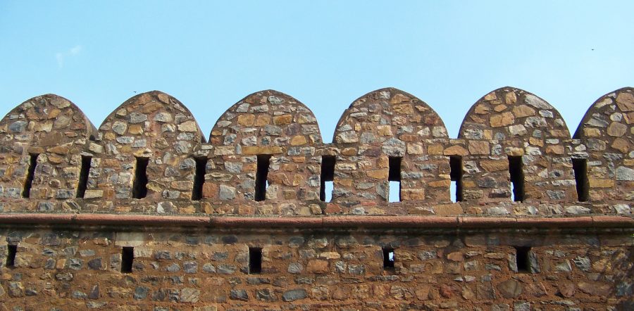
One of the preserved sections of wall near Kashmiri Gate.

One of the preserved sections of wall near Kashmiri Gate.

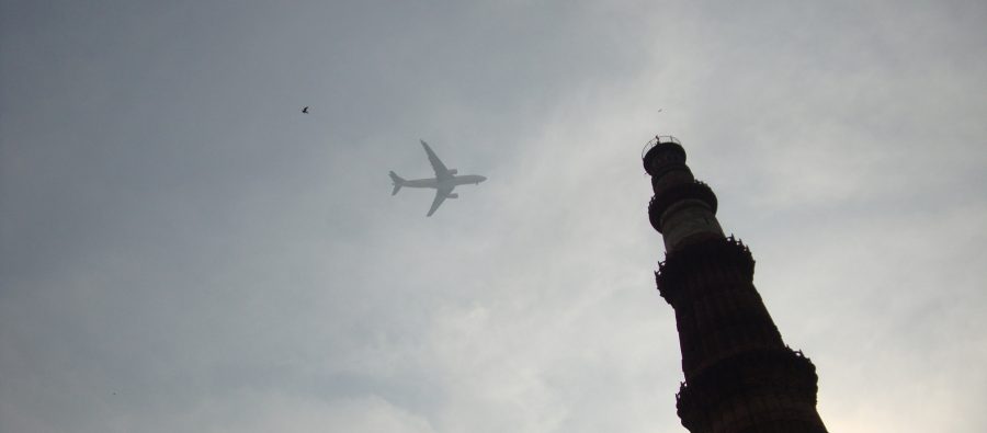
01233-qutb-minar-jet_1823px

How many Qutb Minars is this?

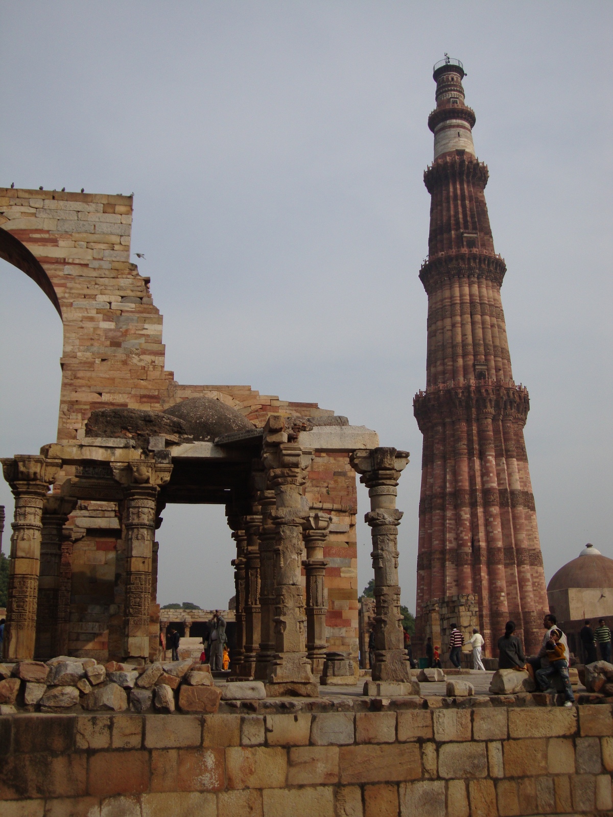
The tallest pre-modern structure in India is Qutb Minar, a 238-ft (72 m) tower in southern Delhi. Qutb-ud-Din Aybak, the first sultan of Delhi, started building the tower in 1199. Several succeeding generations of rulers added to and modified the tower; it only reached its full height after Qutb-ud-Din’s death. Even the British tried to add their own cupola on the apex of the tower, but it did not match the aesthetic of the rest of the tower, so it came down in 1848. The British cupola now sits by itself on the landscaped lawns of the Qutb Minar complex. Qutb Minar and the surrounding area was declared a UNESCO World Heritage Site in 1993.

Qutb Minar towers over surrounding ruins in south Delhi.

Qutb Minar towers over surrounding ruins in south Delhi.

Publications about Indian construction projects in the early-independence period often compared the new projects with pre-modern Indian monuments; Qutb Minar was a particularly popular item of comparison. Towers or tower-like structures invited comparisons most readily. The ventilation stack of Tarapur Atomic Power Station, India’s first nuclear powerplant, was 366 feet (112 meters) tall—much taller than the Qutb Minar,” as several publications noted.1 Qutb Minar was also used as a standard measuring stick for height for any structure. According to an article in Assam Information, “the height between the bottom of foundation and the top of the piers” of the Saraighat Bridge, the first permanent crossing of the Brahmaputra River, “it almost as much as the height of the Qutb Minar.”2 The winner in any early-independence period height competition was Bhakra Dam. Indian Recorder and Digest stated that the height of the dam, “which is the highest structure in Asia, is about three times that of the Qutab Minar.”3

This rhetoric established continuity with the pre-colonial past, but also attempted to transcend it. The colonial period had been a difficult time for India’s educated elites. Although they believed in their own country’s historic greatness, they also absorbed the western critiques of India as backward, underdeveloped, and imprisoned by tradition.4 Building dams, bridges, and nuclear powerplants was a way to recreate India’s past greatness, which had been lost during centuries of colonial domination. The new India’s greatness, though, would not be based on Indian tradition, but on western ideas and technology. The structures of independent India were bigger, and by implication better, than anything the Sultans of Delhi or the Mughals had been able to make. In the sources that I have read, nobody seemed to care that a concrete ventilation stack was not aesthetically comparable to an intricately-wrought red sandstone and white marble tower.

  1. “Tarapur: Gateway to the Nuclear Age,” Economic Studies 10 (1968), 421. []
  2. “Saraighat Bridge: A Boon to Assam,” Assam Information, November 1963, 20. []
  3. “Dedication of Bhakra Dam,” Indian Recorder and Digest, November 1963, 6. []
  4. Ashis Nandy explained the internalization of western ideas by Indian elites in a lecture I attended in Delhi on June 11, 2012. []

The Klan’s Dam

Coordinates: 40.22 N, 105.35 W

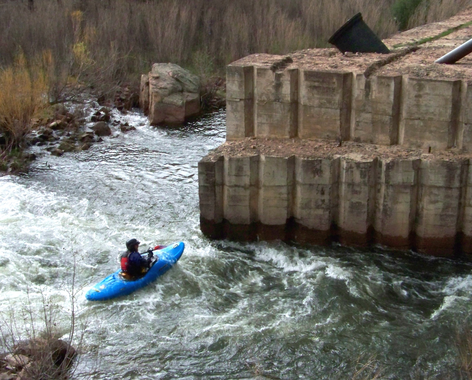
Kayaker passing Chimney Rock Dam.

Kayaker passing Chimney Rock Dam.

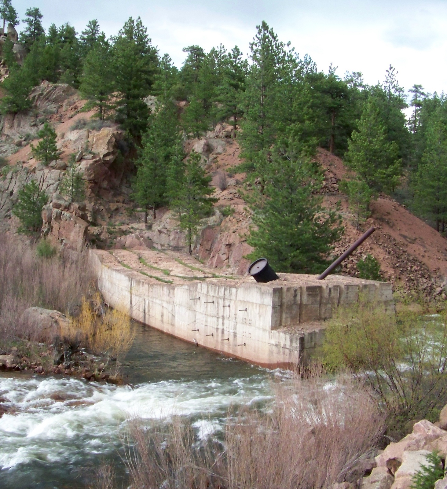
On the St. Vrain River in Colorado, a concrete structure juts partway into the stream, providing an obstacle to kayakers shooting down the rapids, but otherwise serving no useful purpose. The structure is the abandoned foundation of Chimney Rock Dam, a project that began and ended in the mid-1920s. Originally planned to be a combined hydropower and water storage project for the town of Longmont, the remains of Chimney Rock Dam now shed light on two quite different topics: early twentieth-century dam construction methods, and a brief chapter in Colorado’s political history.

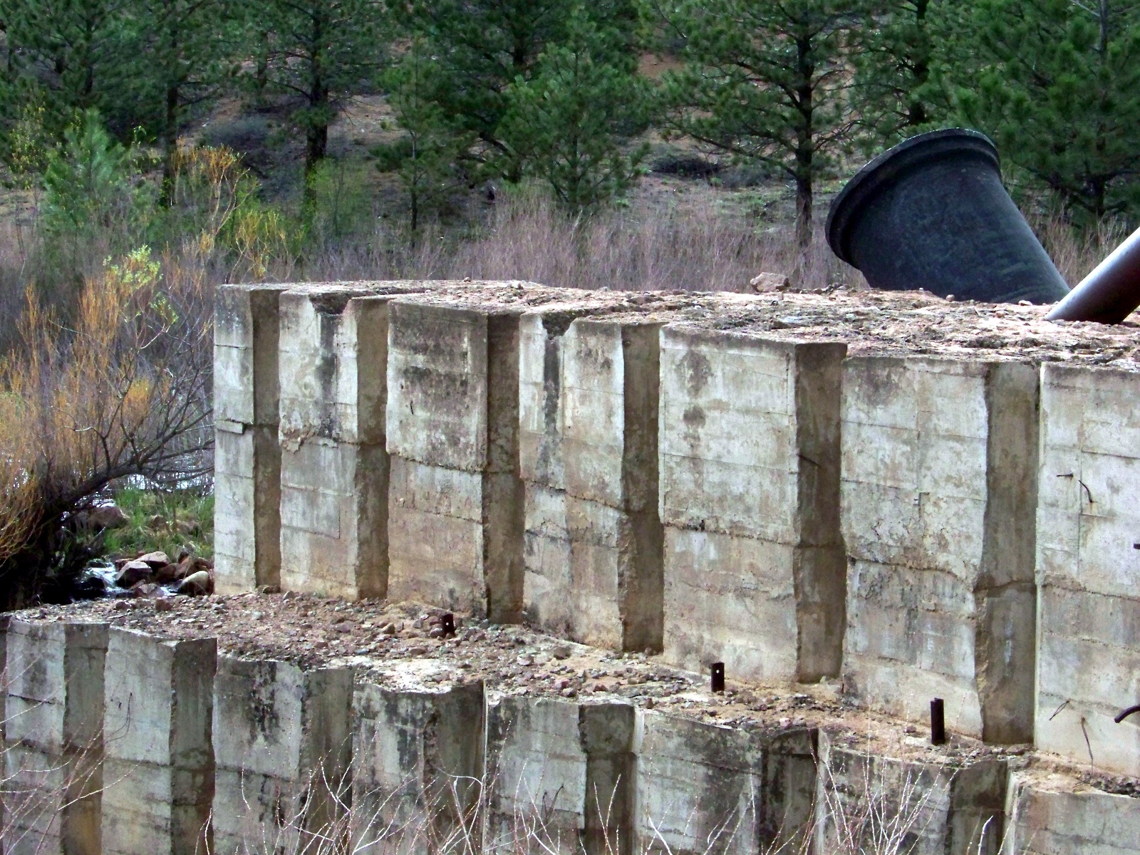
Chimney Rock Dam was built with the use of cofferdams, a cheaper method than diverting the river, but a practical solution only for small or medium-sized streams. Cofferdams are wooden frames that workers fill with weights to sink in the river. Once they have completely surrounded a section of riverbed with a series of cofferdams, the workers pump the enclosed area dry and excavate the riverbed down to bedrock. Then they build the dam up layer by layer. When one section of the dam has risen to a reasonable height, the workers move on to the next section, which they built up from the riverbed out of cofferdams in the same manner as the first.

Detail of the concrete layers used to construct the dam.

Detail of the concrete layers used to construct the dam.

Backside of Chimney Rock Dam.

Backside of Chimney Rock Dam.

A dam built section-by-section from cofferdams has channels in its base, which allow the river to flow unimpeded under the structure during construction. Once the dam tops out, the holes at the base of the dam are closed with gates that drop into place. Then the reservoir begins to fill up behind the dam, exerting pressure on the gates and keeping them sealed tightly shut.

Work never progressed this far on Chimney Rock Dam. Before the dam had even made it across the stream, all work stopped on it. The reason why the dam was abandoned was ultimately political, although a US Army Corps of Engineers audit also determined that the project was technically unfeasible. The dam was a pet project of Longmont’s short-lived Ku Klux Klan city government. Voted into office in the 1925 local elections, the Klan government initiated Chimney Rock Dam in 1926. During its short period of construction, the estimated final cost of the project ballooned from $85,000 to $350,000. Because of these and other excesses, Longmont’s Klan government quickly grew unpopular. Voters ousted the Klan from city government in the 1927 local elections.

What was the Klan doing in Colorado? Longmont’s brief electoral flirtation with the KKK was part of a major revival of the Klan during the 1920s. The first incarnation of the Klan had been based in the South during Reconstruction. The new Klan was reconstituted with its geographical center in the Midwest. During this period, the strongest Klan state was the thoroughly midwestern Indiana. The new Klan persecuted any group that they deemed different and un-American. In Colorado, they targeted Catholics and Mexicans.

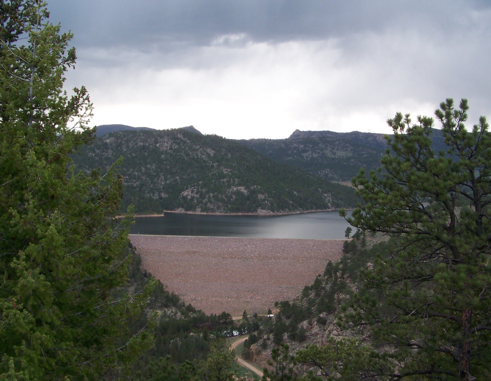
Sixty years after the abandonment of Chimney Rock Dam, Longmont finally got its own major dam for water storage on the St. Vrain River. Button Rock Dam, just upstream from Chimney Rock, was dedicated in 1969. Holding 16,084 acre-feet of water in its reservoir, the dam cost $5.2 million to build.

Button Rock Dam and Ralph Price Reservoir

Button Rock Dam and Ralph Price Reservoir.

Page 6 of 7

Powered by WordPress & Theme by Anders Norén