WillyLogan.com

Technology, History, and Place

Page 16 of 44

Martin Dam backside

Discovering the dams of Alabama

When I moved to Alabama for graduate school ten years ago, the American Southeast at first seemed less interesting than I had hoped it would be. I’d had ideas that the Southeast would have a strong sense of history, because this was where the Civil War and Civil Rights Movement had taken place. But I found that most of the towns in east-central Alabama did not seem particularly old or historic. The town of Auburn, where I lived, consisted mostly of postwar construction, with only a few nineteenth-century buildings. It was not until the end of my second year of grad school that I found something in Alabama that really inspired my sense of history in a uniquely historian-of-technology way: dams.

I was no stranger to dams. As the son of a power engineer, I had visited my share of dams on family vacations. I had also gone to college in Washington State, and I would see dams along the Columbia River whenever I drove to Portland. But it wasn’t until the end of my second year in Alabama that it occurred to me that there might be some dams near me. I was vaguely aware that there must be a dam at the end of Lake Martin, which I would cross over on the way to Birmingham. But I had no idea what it looked like, who built it, or when.

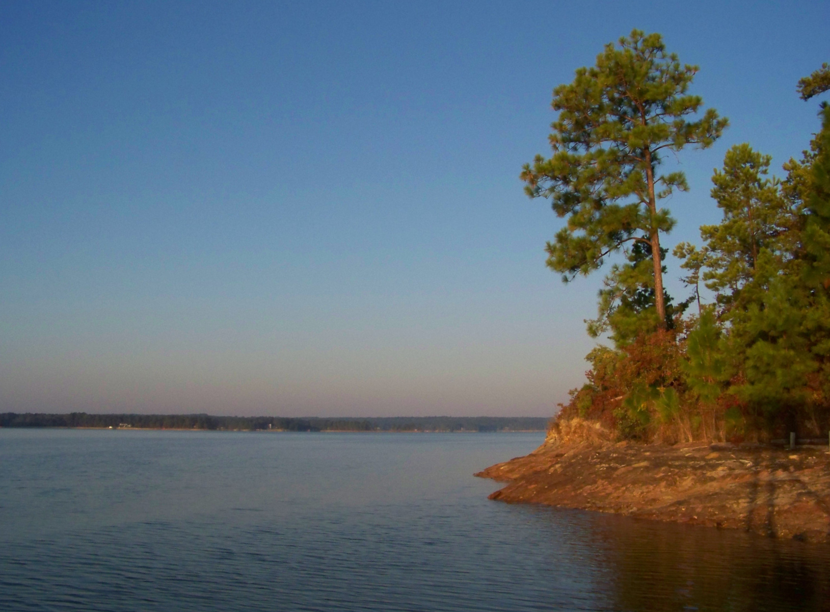
Lake Martin view

Lake Martin on an October morning.

In the spring of my second year of grad school, I had been reading about dams built in India during Nehru’s time as I hunted for a dissertation topic. It occurred to me one fateful day that there were dams on the Tallapoosa River nearby that I had never seen, and they might make for an interesting Saturday afternoon excursion. Looking at a map, I found that I could see three of the Tallapoosa’s dams in a single trip, including the dam that impounded Lake Martin.

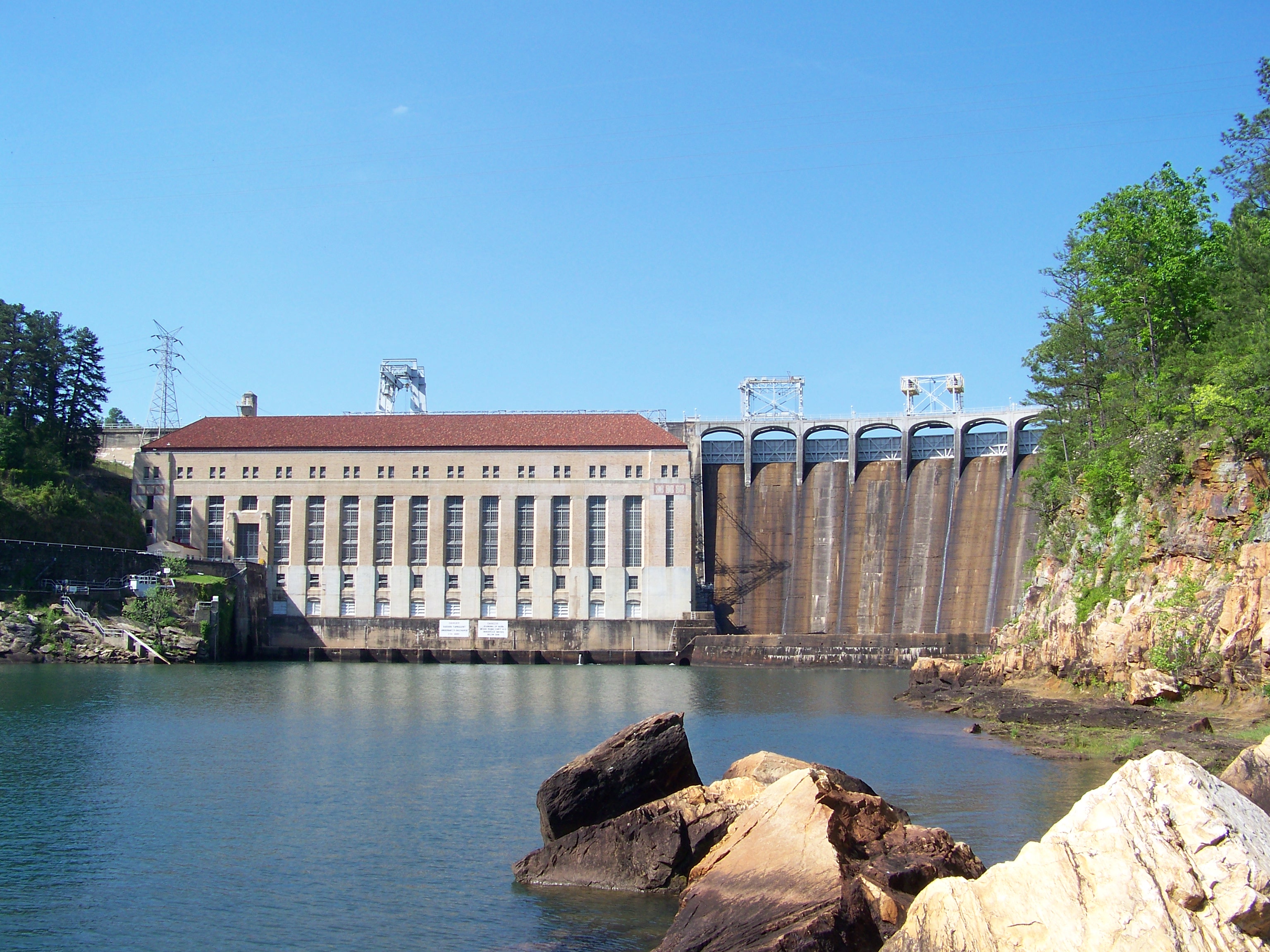
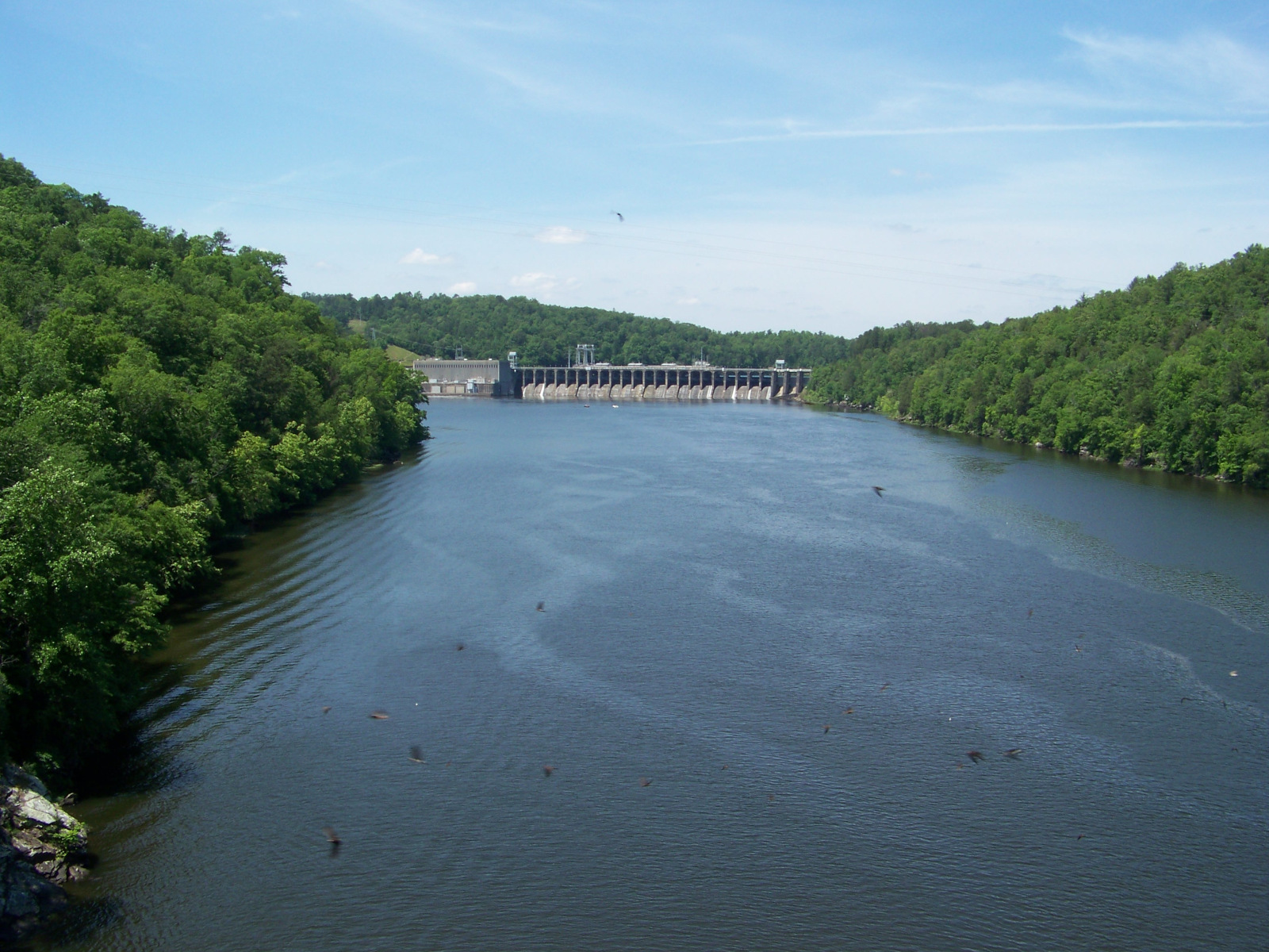
The first dam on my tour was Martin Dam, which I reached by taking AL-50 off of US-280 at Camp Hill. The road swings around the southeastern side of Lake Martin and passes over a bridge right in front of Martin Dam. There was no overlook for the dam, but I did find a place to pull off to the side of the road and park. The dam itself was tucked back in a canyon; I found a vantage point of it by following an abandoned roadbed for an old bridge across the river. The dam was big and impressive, if not exactly colossal.

Martin Dam

Martin Dam on the Tallapoosa River, built 1923-1926.

I continued south along the Tallapoosa. The next dam, Yates, did not appear to be accessible. (I later got a view of it from downstream.) But the last dam, Thurlow, was right in the middle of the town of Tallassee. A bridge ran right in front of it, and I could see the whole thing from a sidewalk on the bridge.

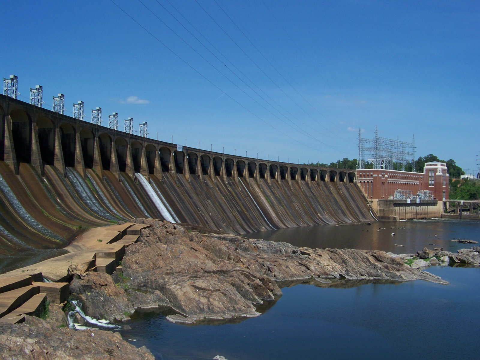
Thurlow Dam face

The face of Thurlow Dam on the Tallapoosa River, completed in 1930.

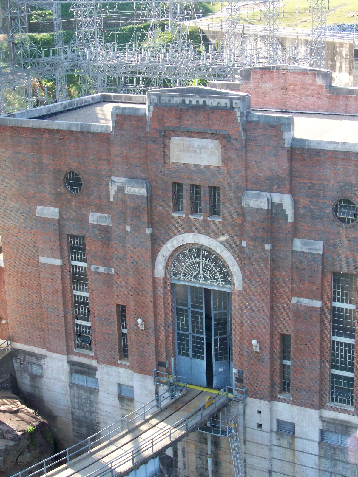
Thurlow Dam powerhouse

Thurlow Dam powerhouse.

From Tallassee, I took AL-14 straight back to Auburn. I eagerly sorted my pictures from the day. The next day, I checked out a book from the university library about the construction of the dams I had just seen: Putting “Loafing Streams” to Work: The Building of Lay, Mitchell, Martin, and Jordan Dams, 1910-1929, by Harvey H. Jackson. In the book, I read about how Alabama Power had transformed the landscape of the Alabama piedmont by building dams on the Tallapoosa and Coosa Rivers in the early twentieth century.

Seeing the dams and learning about their history opened up previously unexplored terrain in my mental map of Alabama history. It turned out that there were other interesting things that had happened in the state besides Civil War and Civil Rights. Those dams had been there the whole time I had been here, and much longer. They told stories of ambition, development, hard work, and not a little modernist hubris. Until embarking on my study of Alabama’s dams, I had no idea those stories were there to be told. Now that I’d started to listen to the stories, Alabama began to seem a good deal more interesting than it had before.
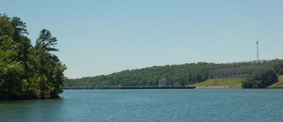
Lay Dam

Lay Dam, completed in 1914, was Alabama Power’s first dam built on the Coosa River.

Mitchell Dam

Distant view of Mitchell Dam on the Coosa River, completed in 1923.

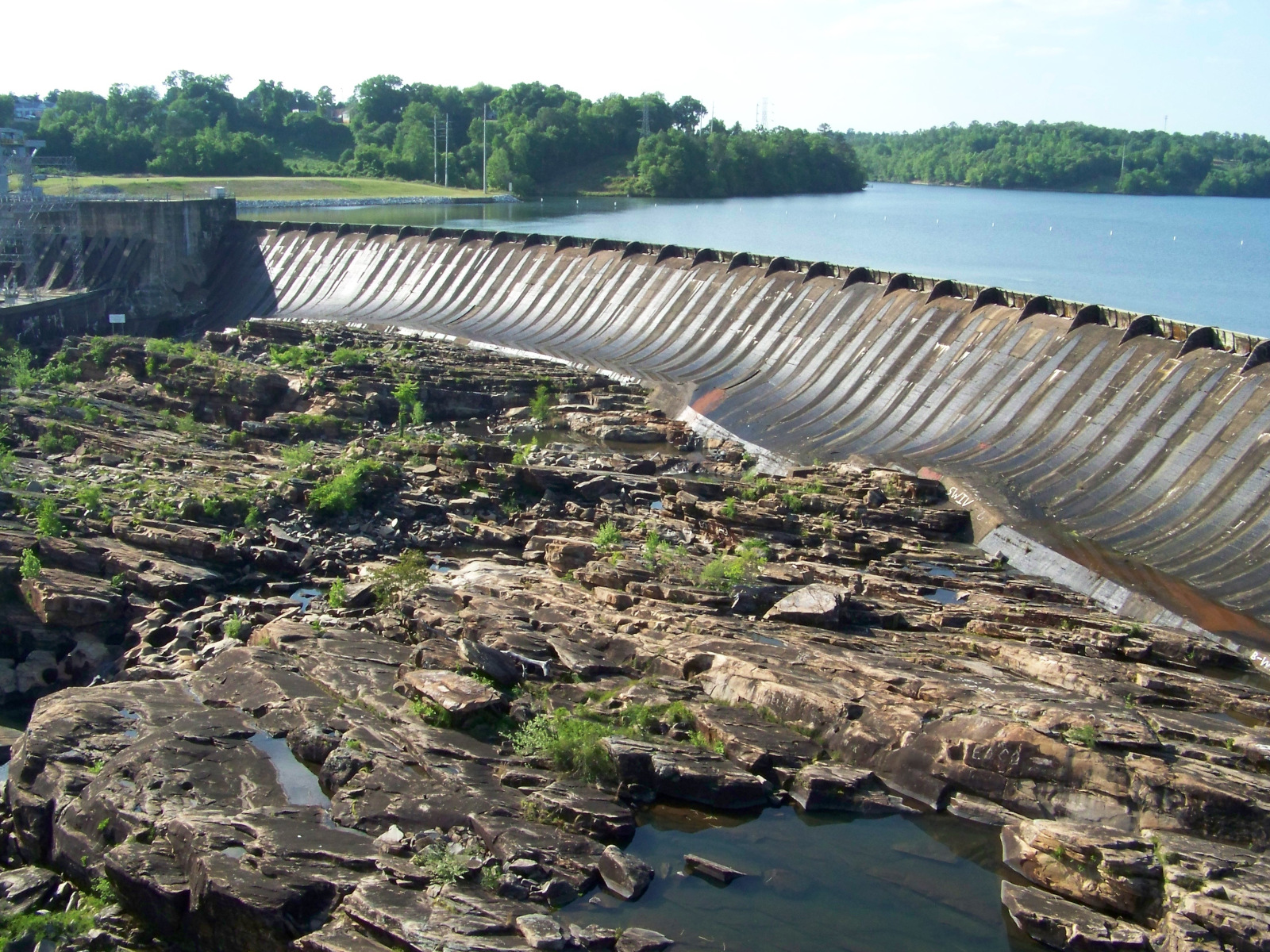
Jordan Dam

Jordan Dam, completed in 1928, is the lowest dam on the Coosa River. The rocks in the foreground were part of Devil’s Staircase, a series of rapids that was destroyed by the construction of the dam.

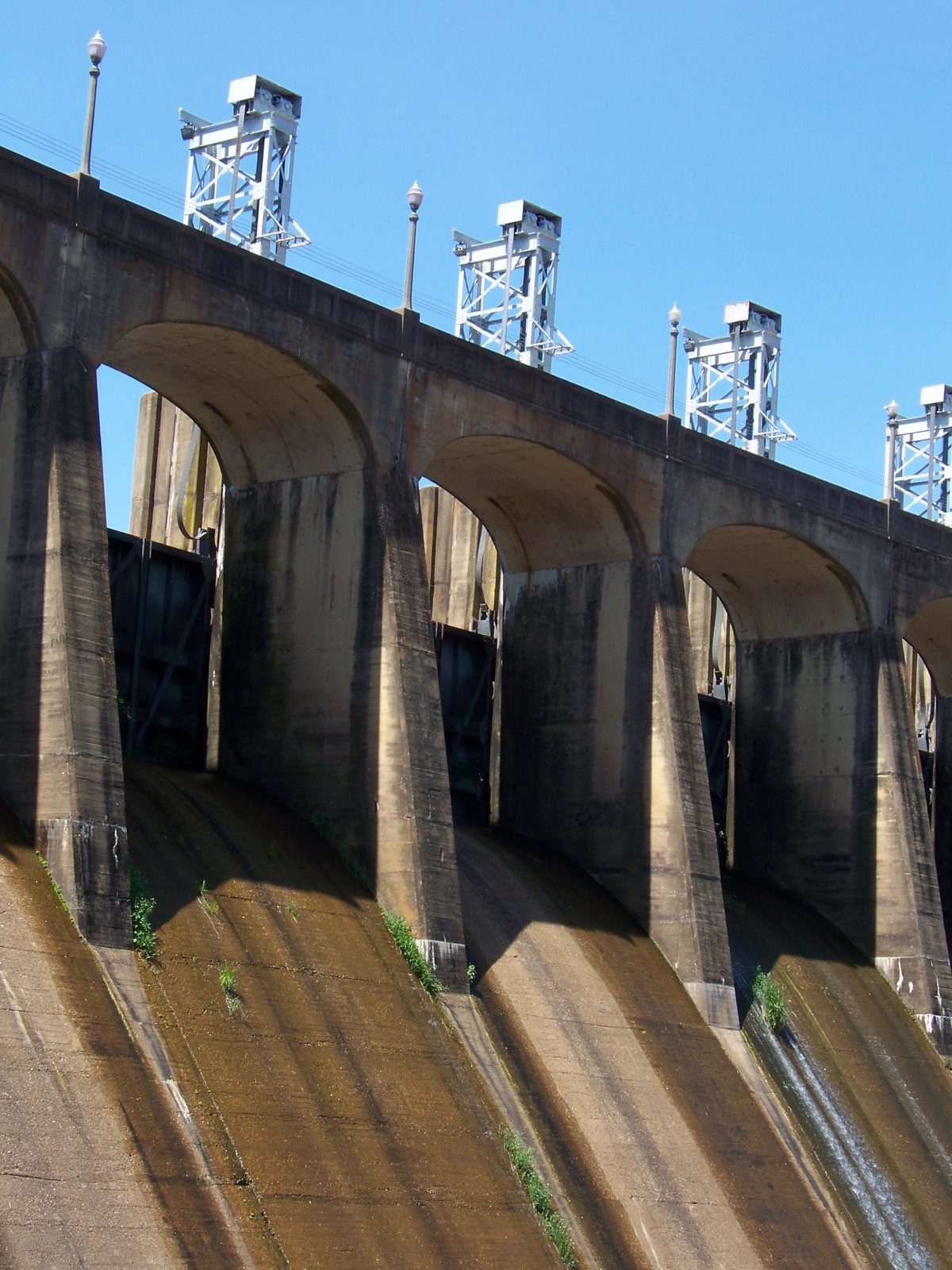
Jordan Dam spillways

Closeup of the spillways of Jordan Dam.

60222-colorful-mural_2180px

A world-heritage disneyland

The city of Malacca (alternately spelled Melaka) was, for hundreds of years, one of the most important cities of southeast Asia. Located near the southern end of the Malay Peninsula, in what is now Malaysia, the city faces the Straits of Malacca, the sea route from China to the Indian Ocean. In the early 15th century, a great fleet commanded by Ming Chinese admiral Zheng He passed this way several times. The rulers of the Sultanate of Malacca were some of the first southeast Asian rulers to convert to Islam. In the colonial period, the city was variously ruled by the Portuguese, Dutch, English, and Japanese, before the Federation of Malaya gained independence in 1957.

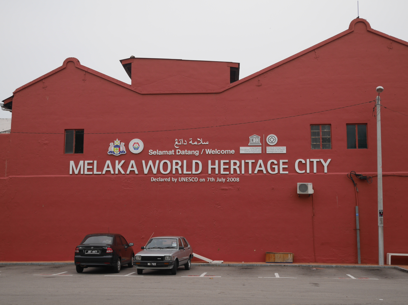
In more recent times, Malacca has declined in importance, being surpassed by Singapore to the south and Kuala Lumpur to the north. The city’s port was located in its river, but the river silted up and the site was in any event unsuitable for the large cranes needed for container-based shipping after World War II. More recently, the city has reinvented itself as a tourist destination. UNESCO declared the town center of Malacca a World Heritage Site in 2008 (a dual-listing with George Town to the north).

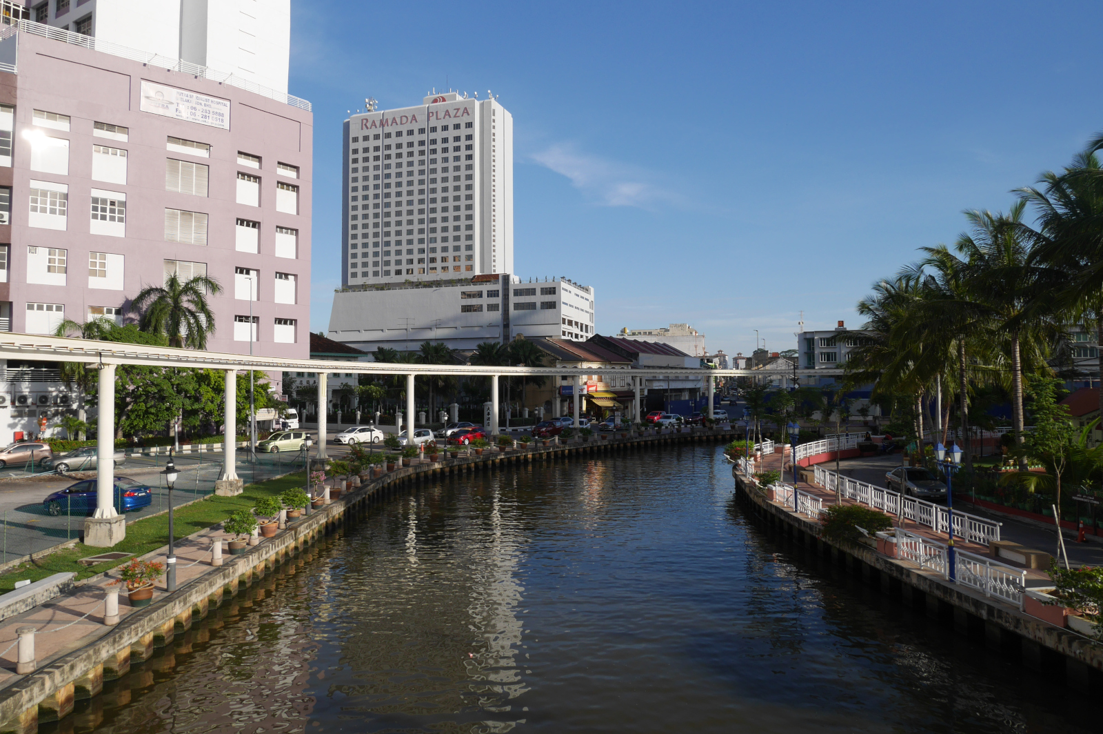
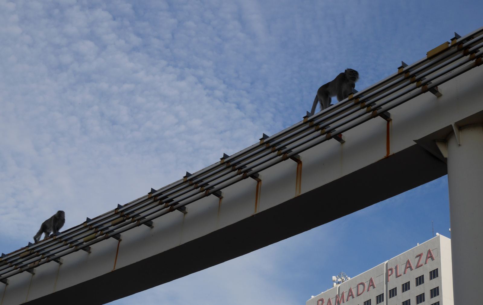
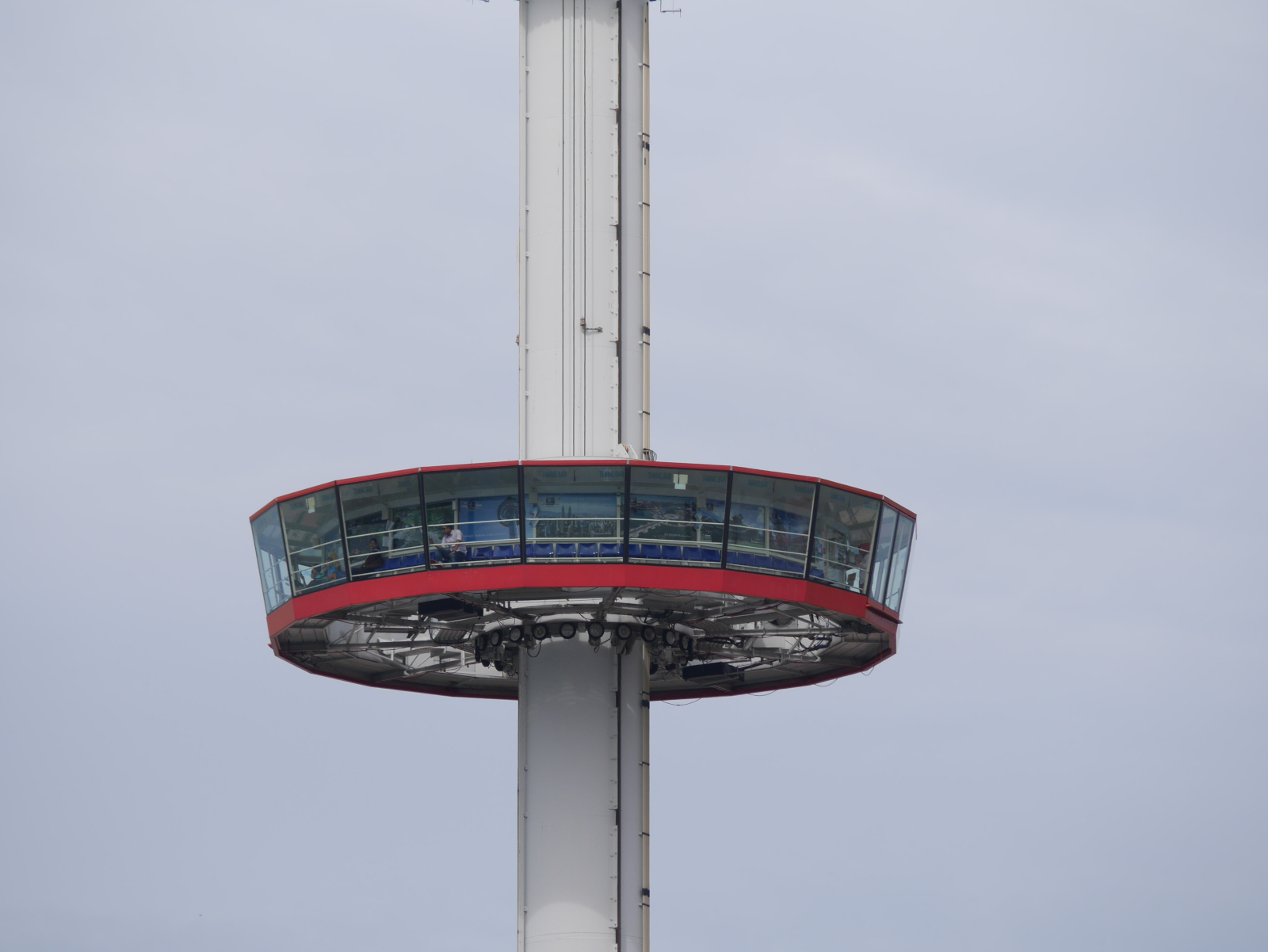
Malacca has been heavily developed for tourism. The town center has a nice hill with a ruined Portuguese church on top, but the developers felt that they also had to build an amusement park-style rotating tower ride nearby for some reason. Immediately adjacent to the historic town center is a giant shopping mall with a huge parking lot. To the north, a monorail runs in a loop along the riverfront. I have a feeling that the urban planning board of Malacca decided to build this particular attraction after watching the “Monorail Song” clip from The Simpsons episode “Marge vs. the Monorail.” (They should have watched the end of the episode.)

View of the monorail along the Malacca riverfront.

View of the monorail along the Malacca riverfront.

Long-tailed macaques (Macaca fascicularis) stalking along the elevated trackway of the monorail.

Long-tailed macaques (Macaca fascicularis) stalking along the elevated trackway of the monorail.

The monorail is emblematic of how touristy and over-commercialized Malacca has become. It isn’t tacky for the most part, but I don’t feel that the commercialization is respectful of the culture and heritage of this place. The heritage that is preserved has been over-preserved. The ruins of erstwhile empires in Malacca are too obviously stabilized. The graves of heroes of the Sultanate period have been covered with latex paint. A whole bastion of the city’s defenses has been reconstructed, but the interpretive signs act like it is the real thing. Overall, Malacca is so touristy that it feels more like a historical disneyland than one of southeast Asia’s great cities.

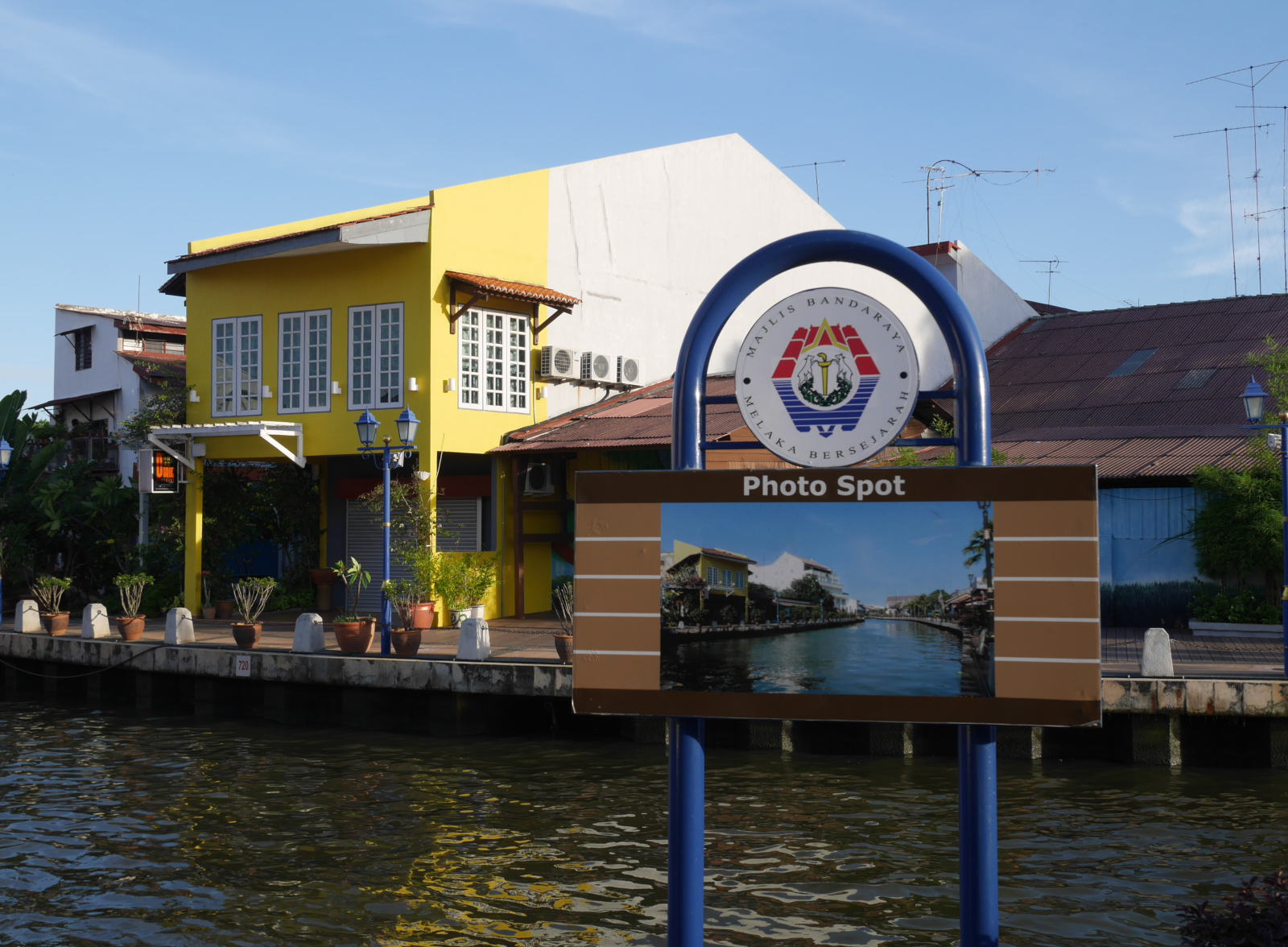
Signs like this along the riverfront advise tourists how to take the exact same photos as everybody else.

Signs like this along the riverfront advise tourists how to take the exact same photos as everybody else.

A rotating elevator-tower near the historic center of Malacca.

A rotating elevator-tower near the historic center of Malacca.

A wall announcing that the town center is a World Heritage Site.

A wall announcing that the town center is a World Heritage Site.

Pyramids of waste

“What can be said of a culture whose legacies to the future are mounds of hazardous materials and a poisoned water supply? Will America’s pyramids be pyramids of waste?”

–Giles Slade, Made to Break (2006)

I think that Giles Slade meant for this comment to be ironic, not taken literally. In the opening of Made to Break: Technology and Obsolescence in America, Slade compares the landfills of modern America with the pyramids of ancient Egypt. As Slade would have it, it is an indication of our societal decadence that the great mounds that we raise are not tombs for our god-kings but final resting places for our junked PCs, outmoded cell phones, and plastic pop bottles.

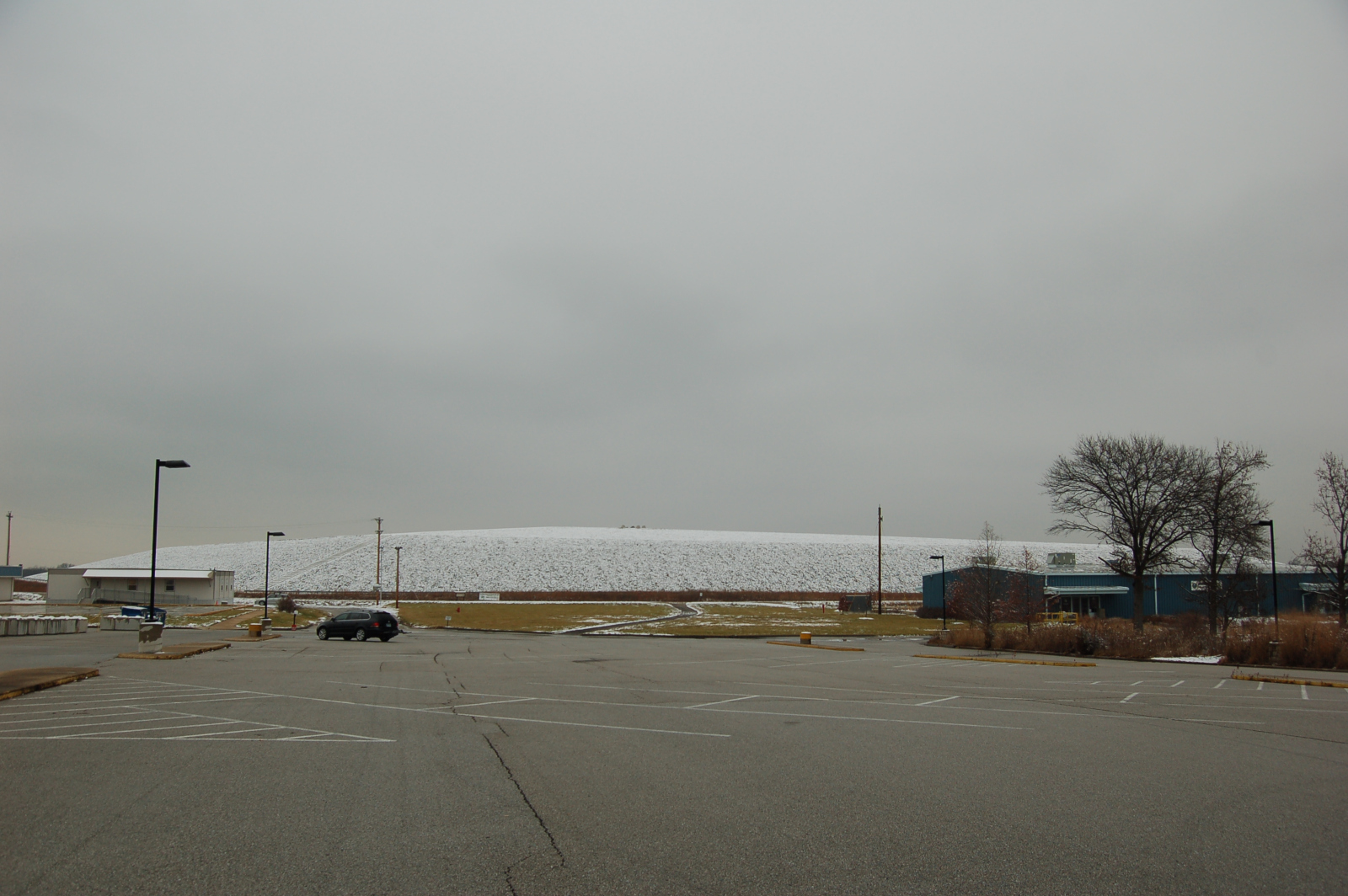
Of course, ordinary domestic landfills don’t really look like pyramids. Sometimes they have rectangular ground-plans; often they don’t. But there is at least one waste-containment mound that actually resembles a pyramid. It is in Missouri. And I’ve been there.

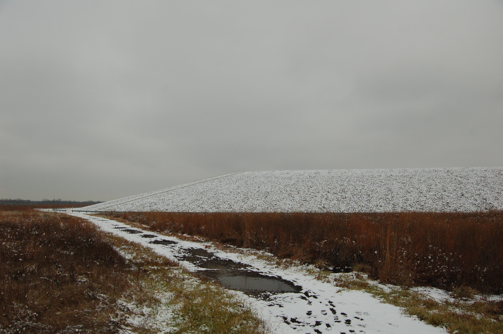
Weldon Spring Site is 30 miles west of St. Louis. During World War II, it was home to a munitions plant, which was converted to a uranium-processing facility in the Cold War. Like so many other Cold War industrial sites, Weldon Spring had plenty of radioactive and hazardous chemical waste lying around when it was abandoned in the 1960s. The Department of Energy took over the site twenty years later and began cleaning it up. All the untreatable chemical and radioactive waste from the site was entombed in an enormous mound. With its sloping sides and flat top, the mound looks a bit like a Mesoamerican pyramid, not so much an Egyptian one. (It is also a little reminiscent of the Cahokia Mounds nearby in Illinois, built by the Mississippian mound-builders.)

I should hope that some of modern America’s more inspiring monuments prove as durable as our pyramids of waste. At least what the Weldon Spring pyramid says about us is that we cared enough to clean up the mess we created (albeit twenty years late).

The Weldon Spring waste mound from across the visitor center parking lot.

The Weldon Spring waste mound viewed from the visitor center parking lot.

The sloping flank of the waste pyramid.

The sloping flank of the waste pyramid.

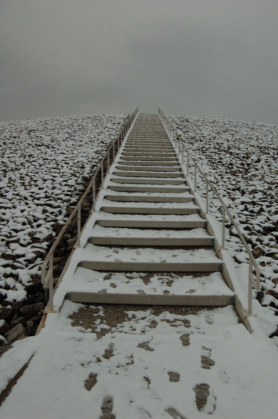
The stairway to the top of the waste pyramid.

The stairway to the top of the waste pyramid.

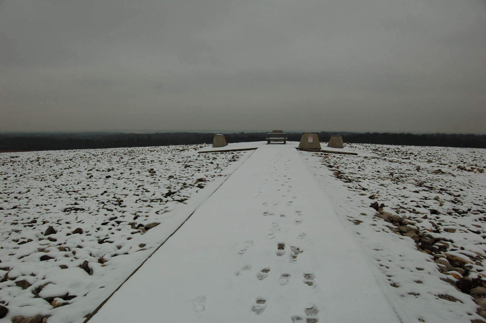
The broad crest of the Weldon Spring waste pyramid. (Where the builders of Teotiuhuacán would have erected a temple for sacrifices, the Department of Energy has placed benches and interpretive plaques.)

The broad crest of the Weldon Spring waste pyramid. (Where the builders of Teotihuacán would have erected a temple for sacrifices, the Department of Energy has placed benches and interpretive plaques.)

Page 16 of 44

Powered by WordPress & Theme by Anders Norén