WillyLogan.com

Technology, History, and Place

Page 19 of 44

NASA poster of the Apollo moon missions

Apollo 11 and the past of space travel

Fifty years ago this month, men from the planet Earth first set foot upon the Moon. They came in peace for all mankind.

The fiftieth anniversary of Apollo 11 has gotten a lot of publicity, more than I remember the thirtieth and fortieth anniversaries getting. There seem to be two dominant ways that companies and institutions are commemorating the fiftieth anniversary. One is marketing collectibles. Estes, the model rocket manufacturer, has reissued classic kits of rockets from Mercury to Apollo. LEGO has released large and detailed sets of the Saturn V and Lunar Module.

The other dominant way to commemorate Apollo 11 has been to use the anniversary as an occasion to discuss the future of space travel. The cover of National Geographic this month declares, “A new era of space travel is here,” and USA Today last week carried the headline: “Fifty years ago, Apollo 11 made the world a bigger place. NASA is ready to go back.”

In some respects, this preoccupation with the future is understandable because space travel has long been imagined as futuristic. Spaceflight was envisioned in science fiction long before it became a reality. Even after people had begun to fly into space, true believers in space travel continued to dream big and kept claiming that the next big thing was just around the corner: inexpensive access to low Earth orbit with reusable spaceplanes, permanent moon bases, and nuclear rockets flying to Mars and beyond.

None of these things have come to pass. The Space Shuttle, though reusable, proved to be expensive to maintain and risky to fly. Moon bases have never been built, and nuclear rocket propulsion remains science fiction. (In a May 25, 1961 speech, just after famously calling for the United States to commit to a moon landing by the end of the 1960s, President John F. Kennedy exhorted Congress to appropriate funds to accelerate the development of the ROVER nuclear rocket—but who remembers that?)

There is a real irony about the future-looking coverage of the moon landing anniversary: space travel belongs to the past as much as to the future. Both National Geographic and USA Today put photos of the Apollo program on their covers, to introduce their articles about the future of space travel. The graphic designers at National Geographic even went so far as to frame the Apollo 8 earthrise photo they used with film sprocket holes—further emphasizing Apollo program’s belonging to the past, because the vast majority of photography in the 2010s is shot digitally rather than on film.

It was literally a half-century ago that men from the planet Earth first set foot upon the moon. We can certainly look forward to further human exploits in space (although considering that we still have no moonbases and nuclear rockets, I won’t hold my breath). But an imaginary future in space should not distract us from the real past. Apollo 11 flew a long time ago, taking off from and landing on a world that was very different than it is today.

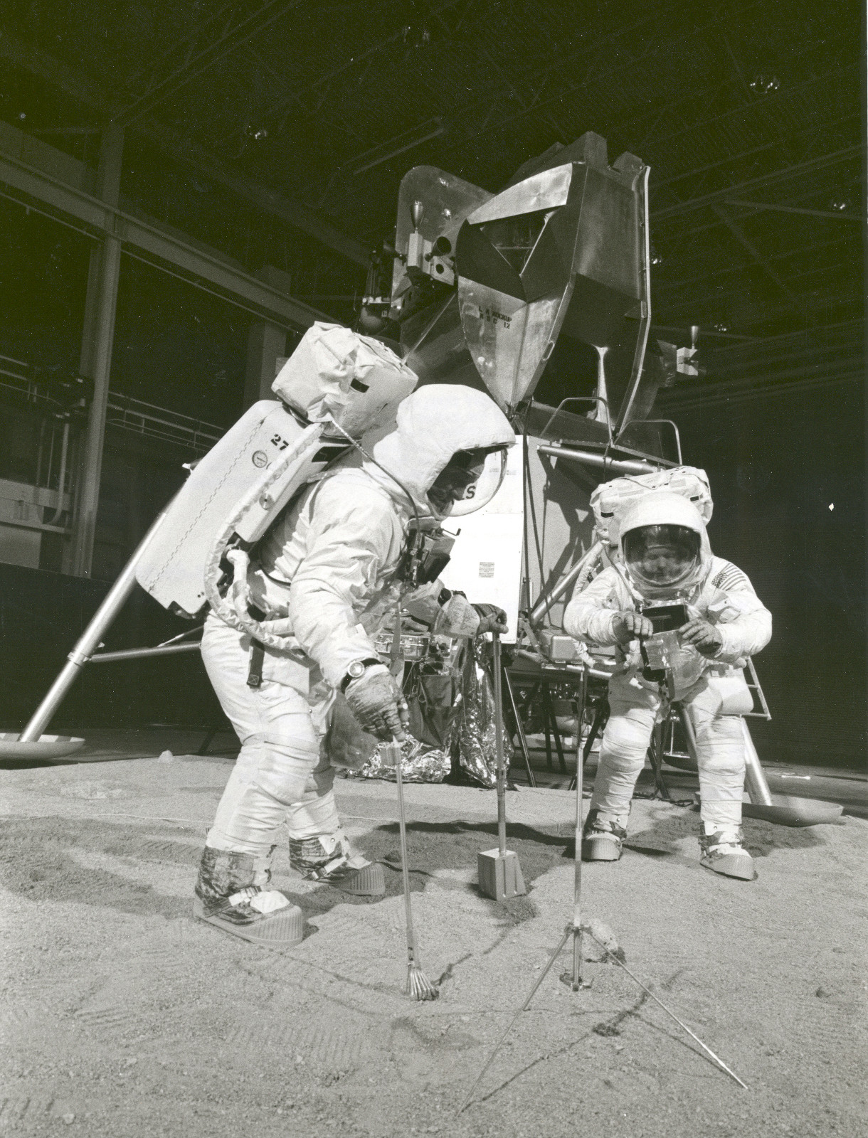
Neil Armstrong and Buzz Aldrin training for their moonwalk on Apollo 11. (NASA)

Neil Armstrong and Buzz Aldrin training for their moonwalk on Apollo 11. (NASA)

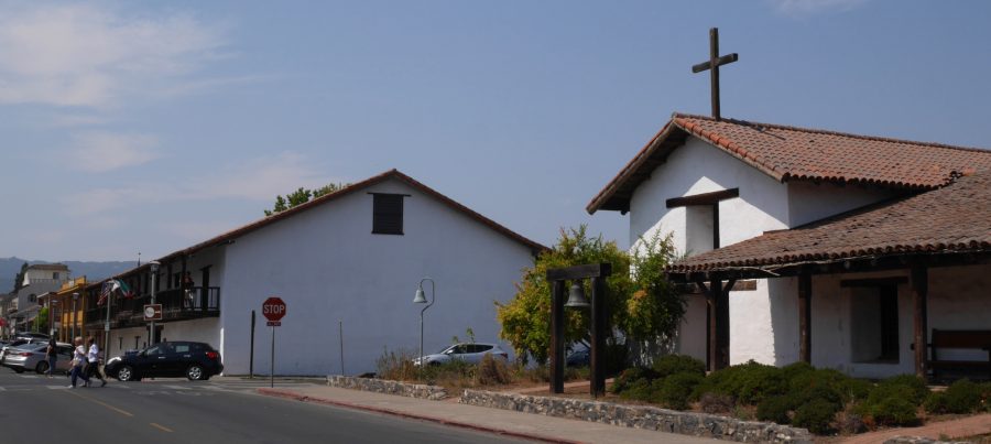
Sonoma Barracks (L) and Mission.

Remembering the Bear Flag

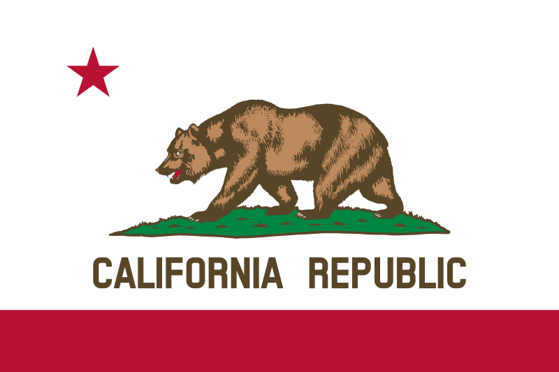
California state flag.

California state flag. (Source: http://www.library.ca.gov/california-history/state-symbols/, public domain.)

SONOMA, California, USA – The state flag of California, which flies over public buildings, schools, and some businesses and private homes—and not to mention baseball caps, t-shirts, and a huge variety of tourist kitsch—is a white banner featuring a grizzly bear on all fours, a red star, a red band, and the words “CALIFORNIA REPUBLIC.” California is a state, not an independent republic, so why does it say that?

California is indeed not an independent republic, and never really was, but in June 1846, rebellious Anglo-American settlers in Sonoma kidnapped the local Mexican official, General Vallejo, and raised the original Bear Flag in front of the barracks of this Mexican territorial outpost. The next month, the Bear Flag would be replaced by the Stars and Stripes, and the US annexation of Alta (Upper) California would be made official with the Treaty of Guadalupe Hidalgo in 1848. California became a state just two years later, and the state flag design was adopted in 1911, using elements of the original Bear Flag but arranging them much more attractively. (It was remarked at the time that the original “bear” actually looked like a pig).
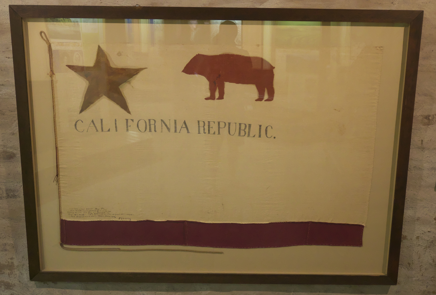
Replica of the original Bear Flag in the Sonoma Barracks. (The original flag was, like so much else, destroyed in the great San Francisco earthquake and fire of 1906.)

Replica of the original Bear Flag in the Sonoma Barracks. (The original flag was, like so much else, destroyed in the great San Francisco earthquake and fire of 1906.)

This Sunday, Sonoma held its annual Bear Flag Celebration, timed to be near the anniversary of the raising in 1846. I headed over to investigate, as I have been wondering how the Bear Flag Revolt is commemorated in twenty-first-century California. It was a land-grab by Anglo settlers who thought they deserved to control California more than any Mexicans, but looking at it this way, it would be difficult to celebrate the event in a county and state with a significant Hispanic minority (27% for Sonoma County and 39% for California as a whole). So how is the revolt remembered?

The museum at the Sonoma Barracks hasn’t been of much help in my attempt to understand memory of the Bear Flag Revolt. The barracks were restored by the state of California in 1976-1980, and the museum displays appear not to have been updated since then. The introductory panel presents “Manifest Destiny” as a fact rather than a contested idea.

Having made several visits to the historic buildings in Sonoma, without gaining any insight into memory of the revolt, I thought I might have better luck at the Bear Flag Ceremony that kicked off the day’s festivities on Sunday.
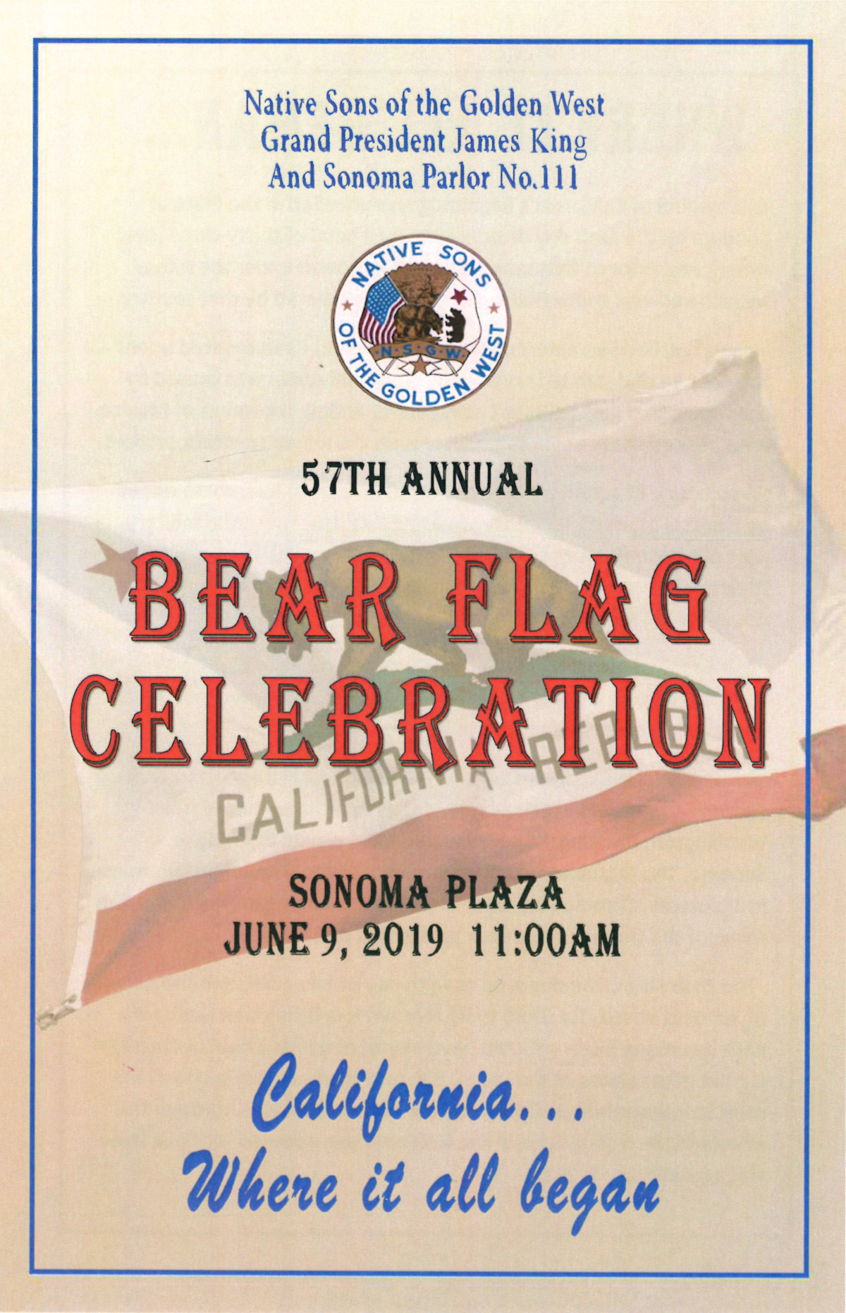
Front cover of the program for the 2019 Bear Flag Celebration.

Front cover of the program for the 2019 Bear Flag Celebration.

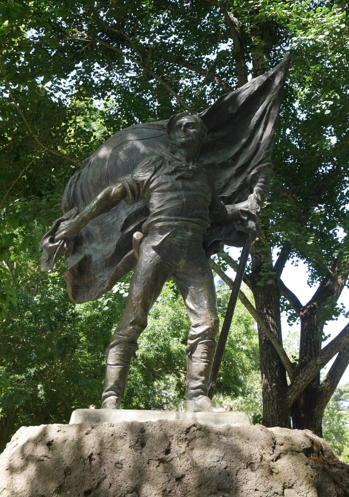
The ceremony was held in front of the vaguely socialist-realist Bear Flag Monument on the Sonoma Plaza opposite the barracks. Native Sons of the Golden West, a fraternal service organization founded in 1875, organized the event. (This is native as in “native-born,” not “Native American.” Judging from the event on Sunday, the membership of the organization seems to be largely but not exclusively Anglo.)
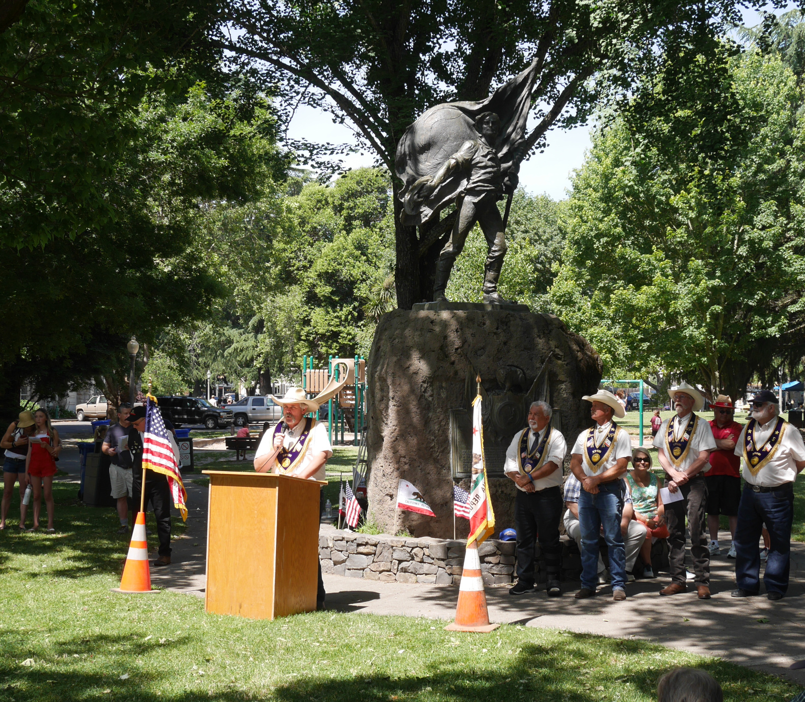
Scene from the Bear Flag Ceremony.
Scene from the Bear Flag Ceremony.

Detail of the Bear Flag Monument.

Detail of the Bear Flag Monument.

At first, the ceremony didn’t offer me much insight. There were a few reference to the “heroes” of the Bear Flag Revolt, without any explanation about what made them heroic. And there was plenty of generic patriotism (recitation of the Pledge of Allegiance and singing of the “Star-spangled Banner”).
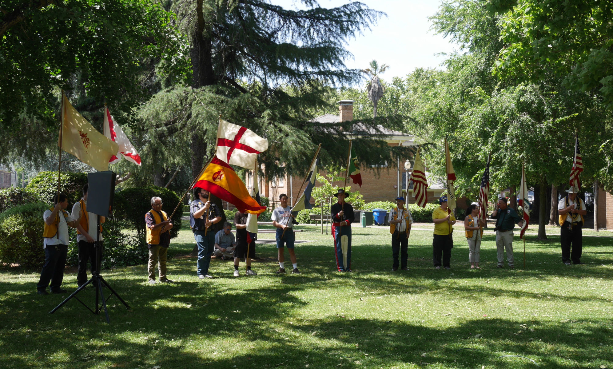
A lineup of historic flags in at the Bear Flag Ceremony. States of the United States that were once ruled by either Mexico or France really like to commemorate this fact.

A lineup of historic flags in at the Bear Flag Ceremony. States of the United States that were once ruled by either Mexico or France really like to commemorate this fact.

Things really got interesting with a speech by Dave Allen, Past Grand President of the NSGW and Chairman of the Historical Preservation Foundation. He explained how interpretations of historical facts can and often do change. “A situation that was generally accepted as fact can be reinterpreted by later historians as having an entirely different conclusion,” he said. As an example, he explained that the snow encountered by the Donner Party in 1846-47 was long presumed to be 22 feet deep, and for this reason the Pioneer Monument in Truckee has a base 22 feet high. But more recent research has shown that the snow was in fact 13 feet deep. PGP Allen spoke only about details like this, but I got the impression that he meant that broader interpretations could be changed as well—such as whether the participants in the Bear Flag Revolt were heroes or not.

Later in the program, Sonoma Mayor Amy Harrington remarked that the Bear Flag Revolt proves that a small group of people can make a big difference. (I suppose it helps if said people have the support of an imperialistic power nearby.) The NSGW gave Mayor Harrington a new state flag, which a color guard raised up a flagpole marking the approximate location where the original Bear Flag was flown. As the new flag was nearing the top of the flagpole, somebody behind me in the audience shouted, “Hip hip hooray!” and others nearby chuckled.
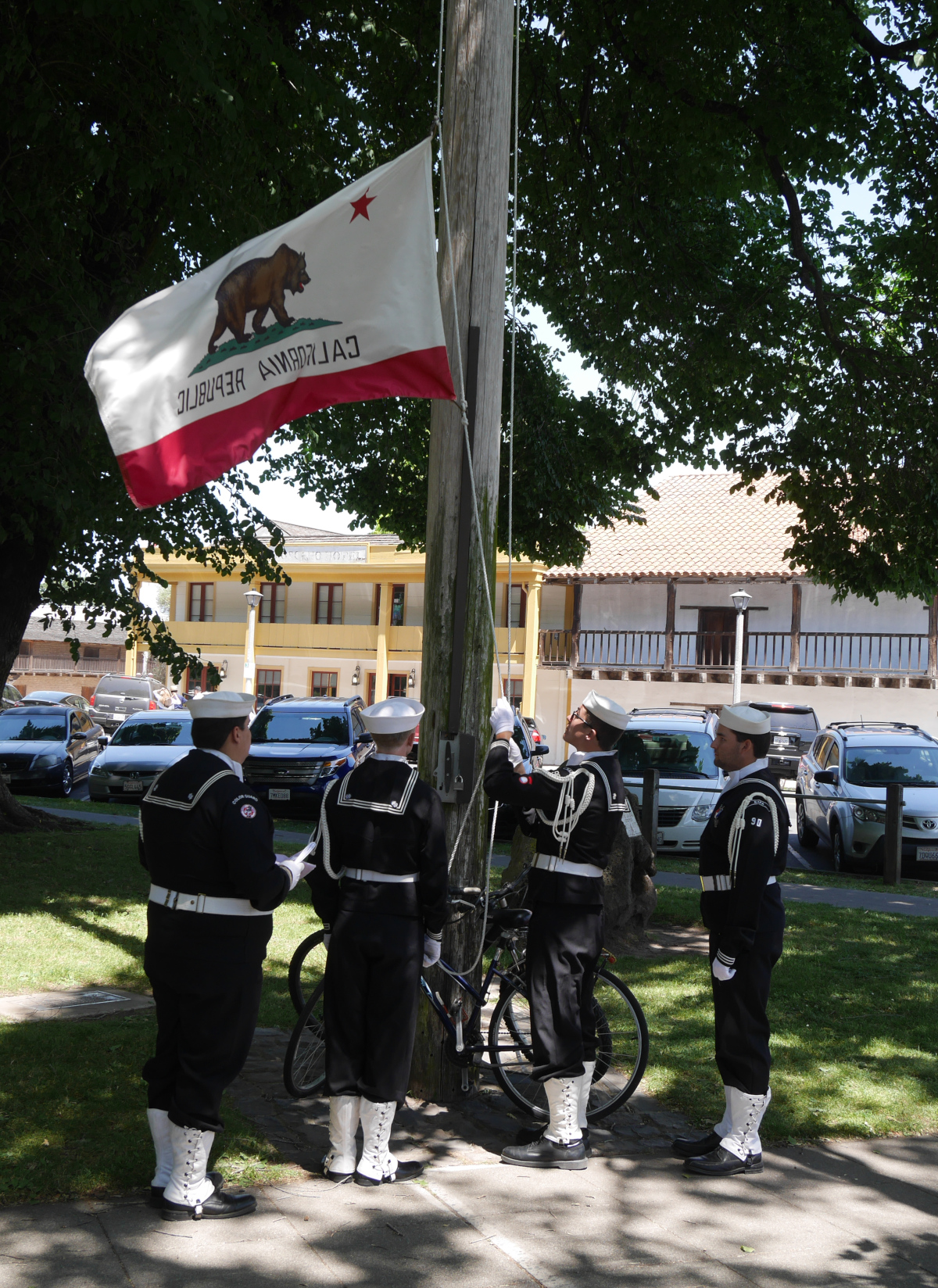
Lowering last year’s state flag on an overly-literal telephone pole that is supposed to mark the site of the original Bear Flag’s raising.

Lowering last year’s state flag on an overly-literal telephone pole that is supposed to mark the site of the original Bear Flag’s raising.

The ceremony concluded with a group singing of the state song, “I Love You California.” Although the words were printed on the back of the program, most people in the audience (your blogger included) didn’t know the tune and couldn’t sing along.

Later in the day, a planned reenactment of the Bear Flag Revolt failed to materialize, so I headed home. Although I would have liked to have seen a reenactment, I had gotten plenty of insight already. I had wondered if the interpretation and memory of the Bear Flag Revolt was constrained by the state or the Native Sons of the Golden West—as, for example, the Daughters of the Republic of Texas guards the historical interpretation of the Alamo. But it seems that this is not the case. NSGW Past Grand President Dave Allen is right: interpretation of the past can and does change. I find it heartening to know that the state of California and the Native Sons of the Golden West are open to new interpretations.
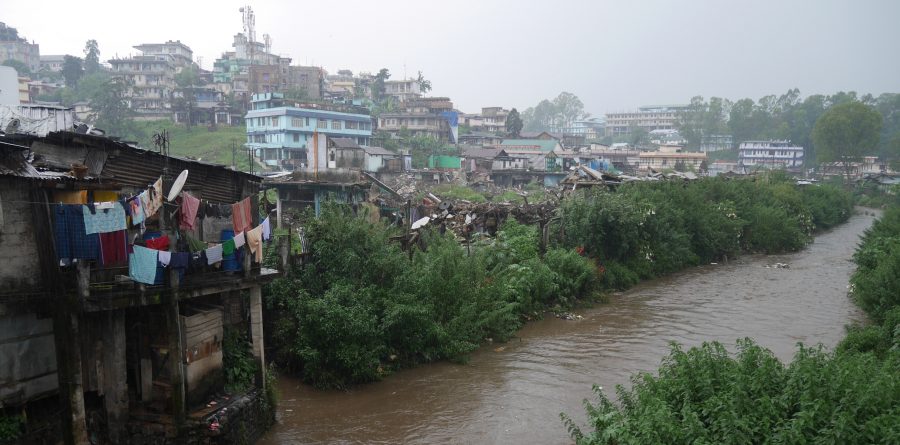
60730-umkhrah-river_2427px

The streams of Shillong

Four years ago, when I was researching my dissertation, I spent a week in Shillong, capital of the Indian state of Meghalaya and formerly capital of Assam. Shillong is located at an elevation of 4,900 feet in the Khasi Hills, a part of the Meghalaya Plateau that rises between the flatlands of Bengal (Bangladesh) to the south and Assam to the north.

I spent time in Shillong because it is close to a dam I was studying, Umiam Dam. I was primarily studying the dam from a technological perspective, but since I was writing my dissertation, I wanted to consider it from every possible angle. This led me to think about the dam from an environmental perspective, which in turn got me thinking about the streams of Shillong.

Umiam Dam impounds a reservoir with a surface area of about four square miles, named alternately Umiam Lake or Barapani Lake. (Umiam is a Khasi word meaning “Weeping River”; Barapani is Hindi for “Big Water.”) The reservoir receives drainage from a catchment area of 85.5 square miles in the Khasi highlands. The city of Shillong is located within this catchment area.

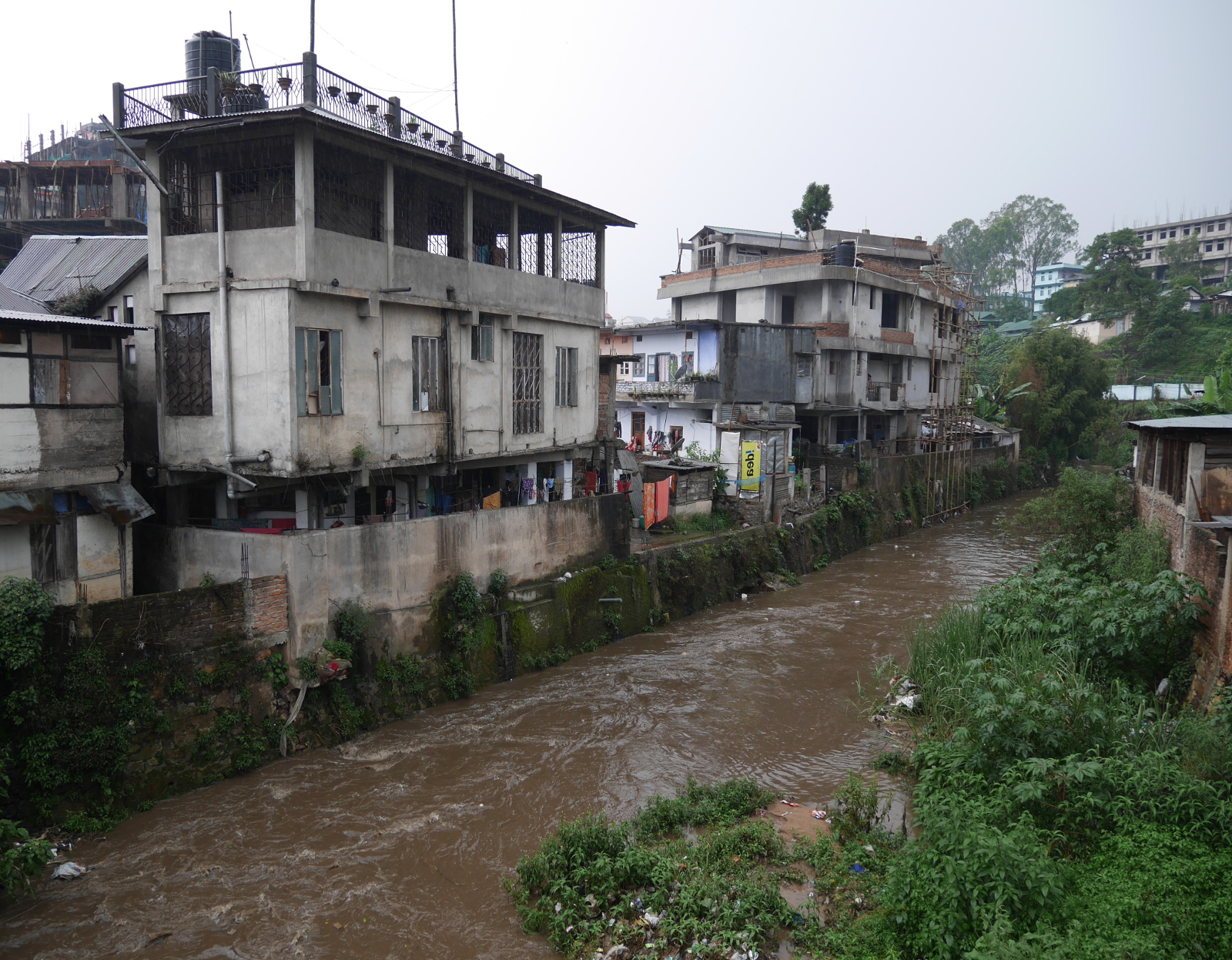
I spent some of my week in Shillong walking around the city, trying to get a sense of the lay of the land. Two rivers flow through Shillong, the Umkhrah and Umshyrpi, both joined on their way by innumerable smaller tributaries and drains. I made it a point to see both rivers.

The Umkhrah River is on the northern edge of the city. I had vague memories of walking by it on my first visit to Shillong, five years earlier, but I didn’t pay much attention to it, and I didn’t even know its name. On this visit, I spent plenty of time walking along the river.

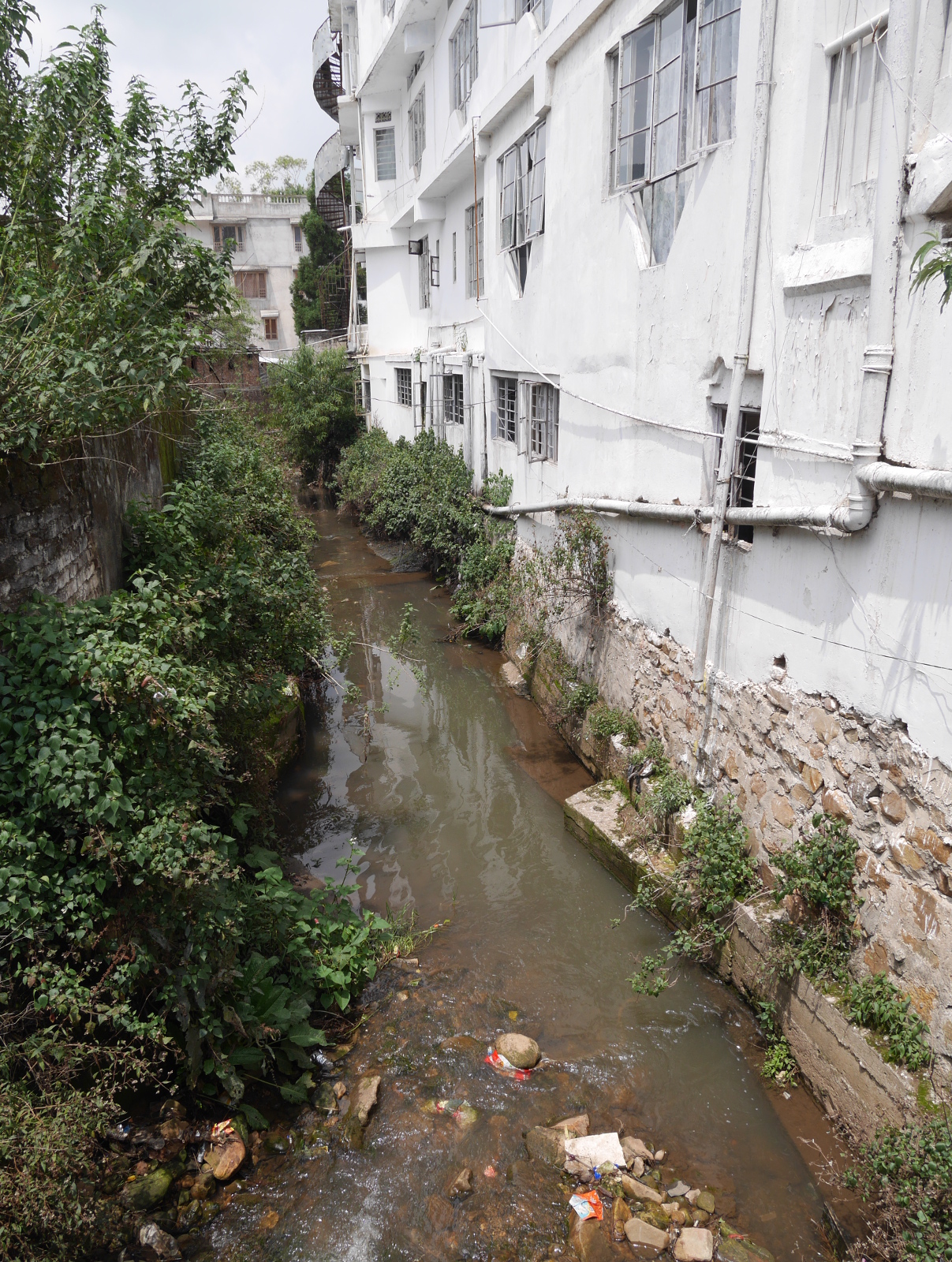
Houses right next to the Umkhrah River.

Houses right next to the Umkhrah River.

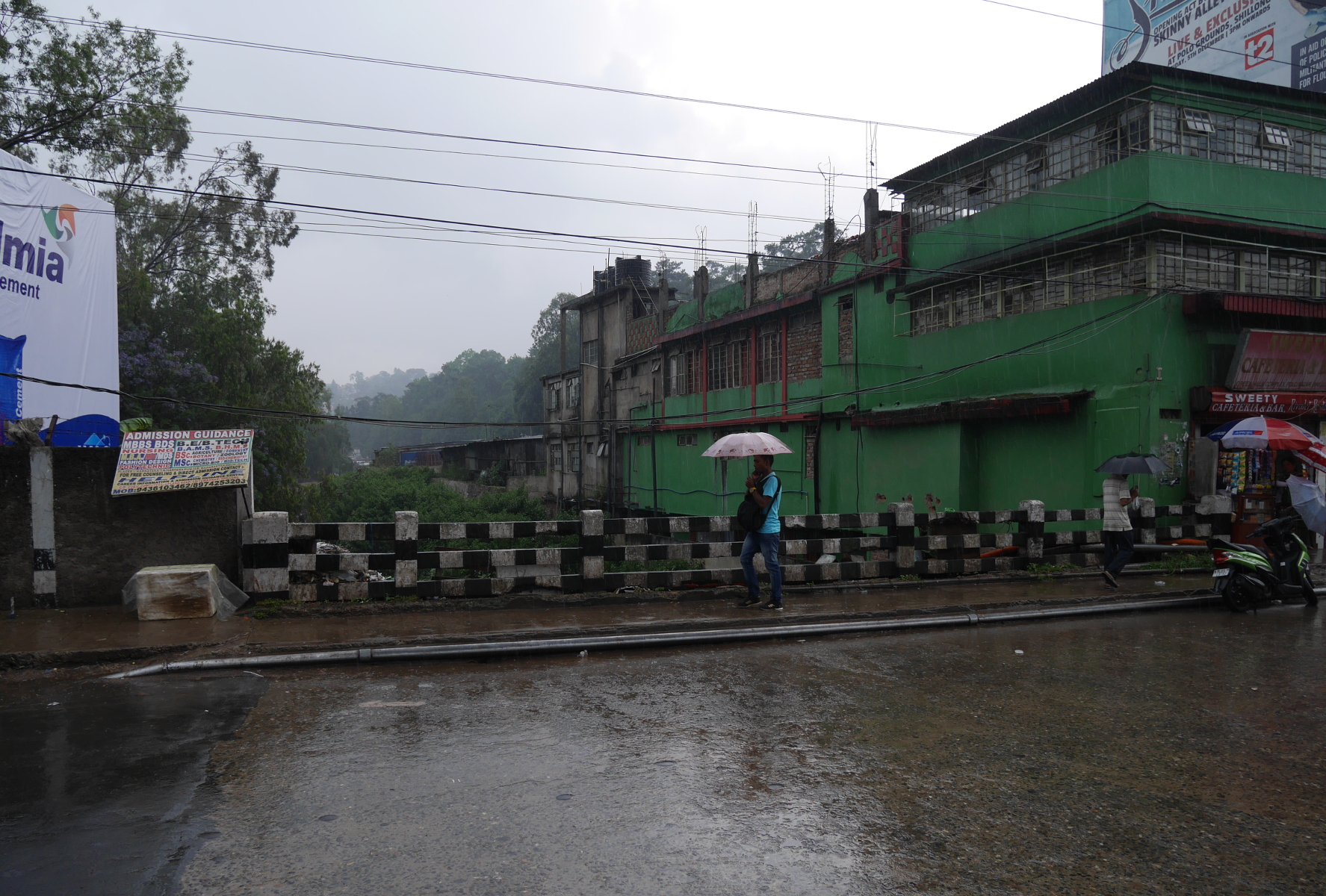
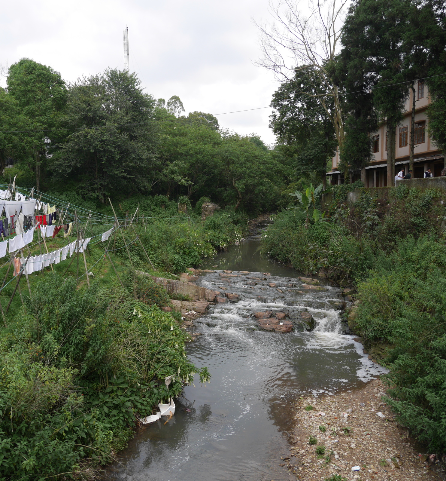
A bridge over the Umkhrah River in Shillong.

A bridge over the Umkhrah River in Shillong.

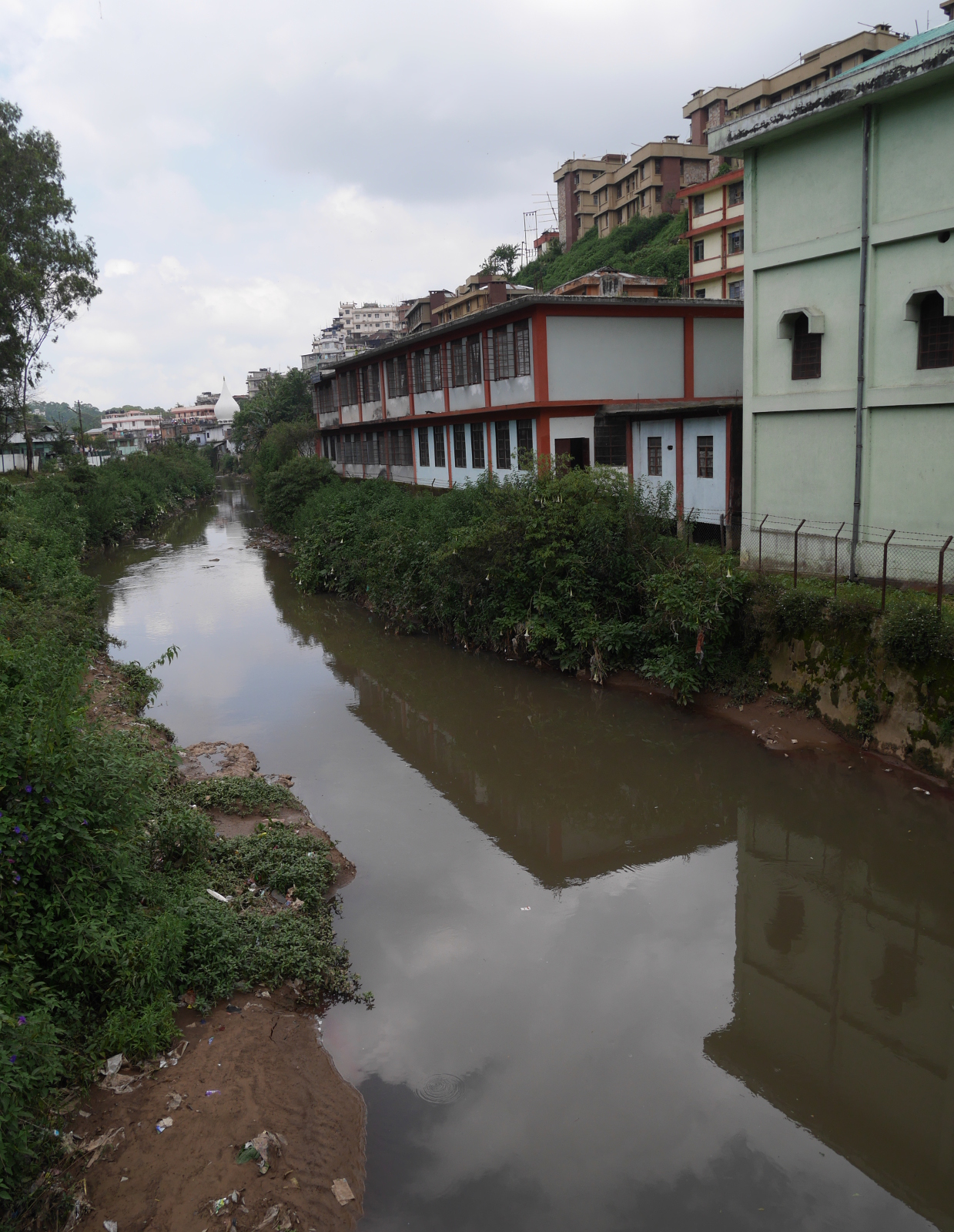
A still section of the Umkhrah.

A still section of the Umkhrah.

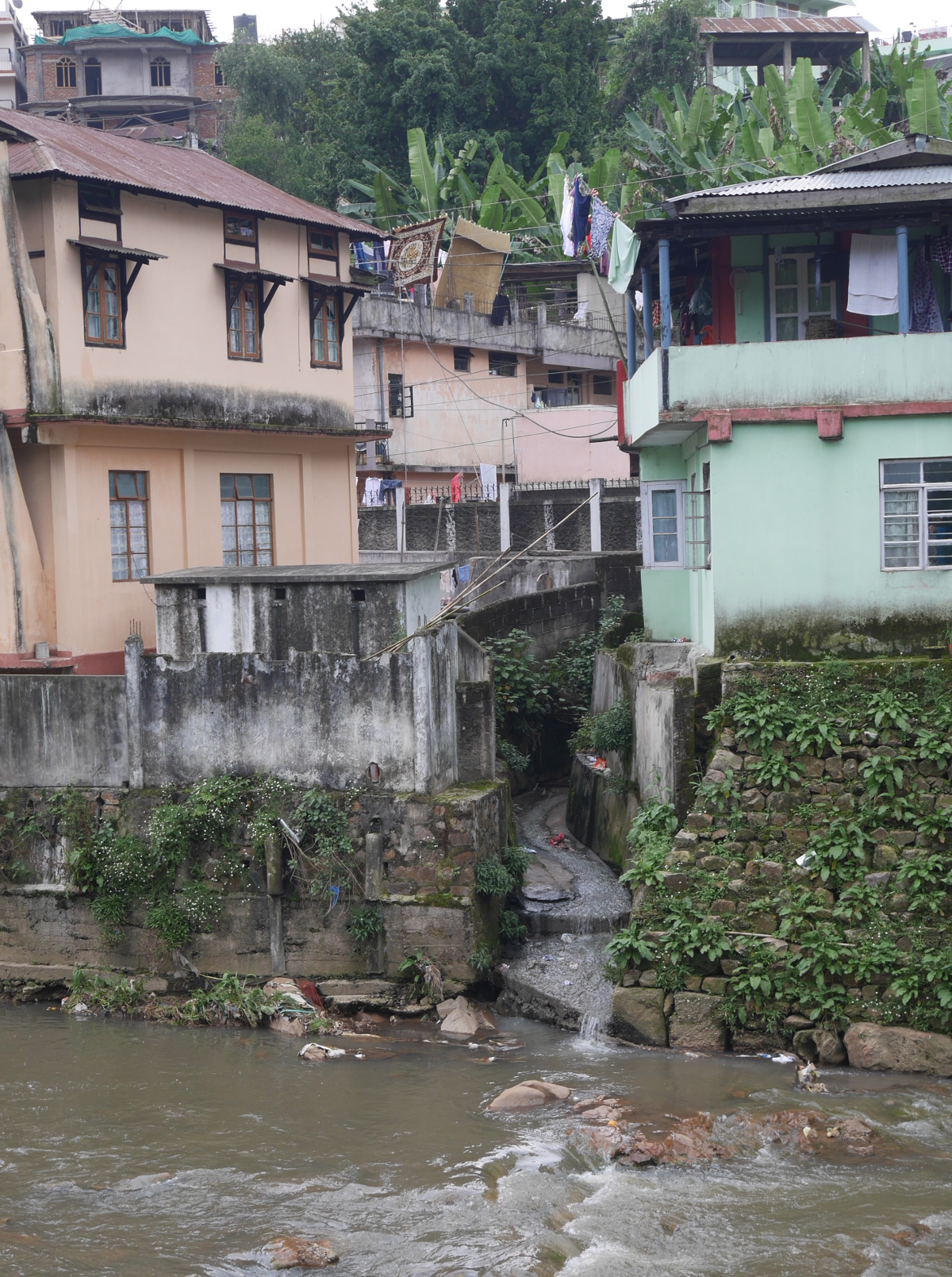
One of the countless storm drains that empties into the Umkhrah.

One of the countless storm drains that empties into the Umkhrah.

The Umshyrpi River to the south is separated from the Umkhrah by a ridge atop which the main bazaars and government buildings are located.

A tributary of the Umshyrpi on the south side of Shillong.

A tributary of the Umshyrpi River on the south side of Shillong.

The Umshyrpi proper.

The Umshyrpi proper.

West of Shillong, the Umkhrah and Umshirpi join to form the Roro River, which subsequently flows into the Umiam River.

Both the Umkhrah and the Umshyrpi are quite polluted, and this pollution washes down into Umiam Lake. You might have noticed trash in some of my pictures of the rivers. What you can’t see in the pictures, but is there, is untreated sewage. The town’s hilly geography and patchwork of tribal lands have mitigated against the construction of a municipal sanitary sewer. Septic tanks collect sewage from homes and businesses, and municipal workers or contractors carry the waste away in trucks for treatment. But when tanks leak or overflow, the sewage finds its way into the Umshyrpi or Umkhrah Rivers, and thence into Umiam Lake.

Apart from Shillong, another significant source of pollution for Umiam Lake is the practice of jhum (slash-and-burn) cultivation, which removes vegetation cover on hillsides and thus leads to erosion.

A central government study of the lake in the early 1980s concluded that the water was of class C quality, which meant that it would need to be both conventionally treated and disinfected before being used as a potable water source.

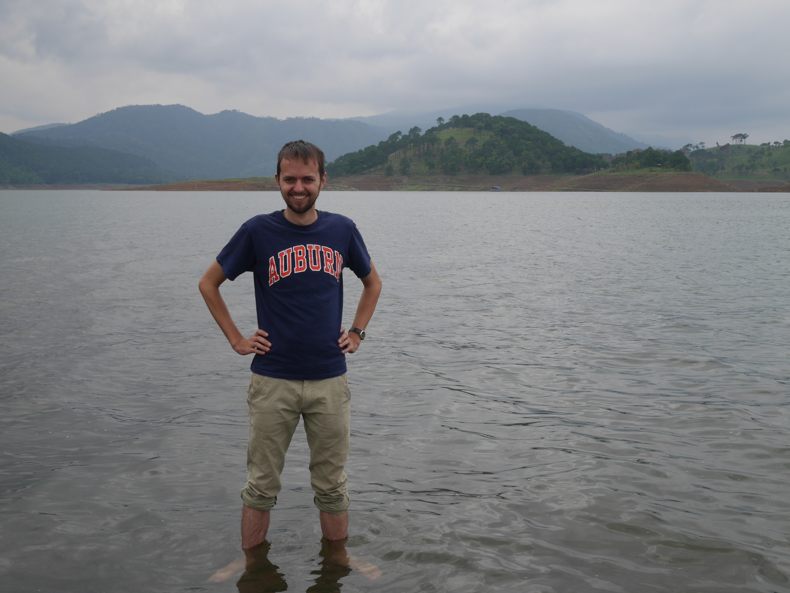
Umiam Lake is a beautiful place, as it is ringed by misty, pine-forested hills. But knowing what I knew about the seemingly intractable problems of water pollution in the lake, I didn’t go into the lake much past my ankles.

Your blogger standing in Umiam Lake.

Your blogger standing in Umiam Lake.

Page 19 of 44

Powered by WordPress & Theme by Anders Norén