WillyLogan.com

Technology, History, and Place

Tag: Waste (Page 2 of 2)

The Klan’s Dam

Coordinates: 40.22 N, 105.35 W

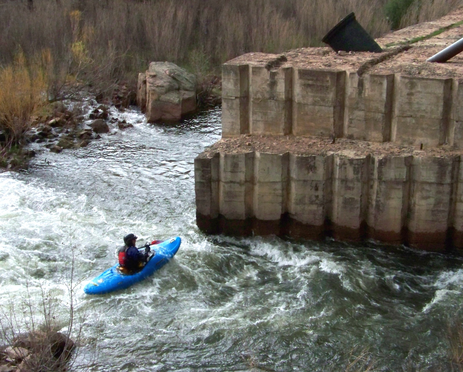
Kayaker passing Chimney Rock Dam.

Kayaker passing Chimney Rock Dam.

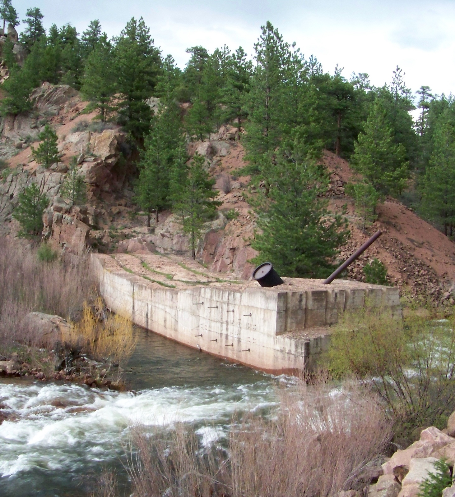
On the St. Vrain River in Colorado, a concrete structure juts partway into the stream, providing an obstacle to kayakers shooting down the rapids, but otherwise serving no useful purpose. The structure is the abandoned foundation of Chimney Rock Dam, a project that began and ended in the mid-1920s. Originally planned to be a combined hydropower and water storage project for the town of Longmont, the remains of Chimney Rock Dam now shed light on two quite different topics: early twentieth-century dam construction methods, and a brief chapter in Colorado’s political history.

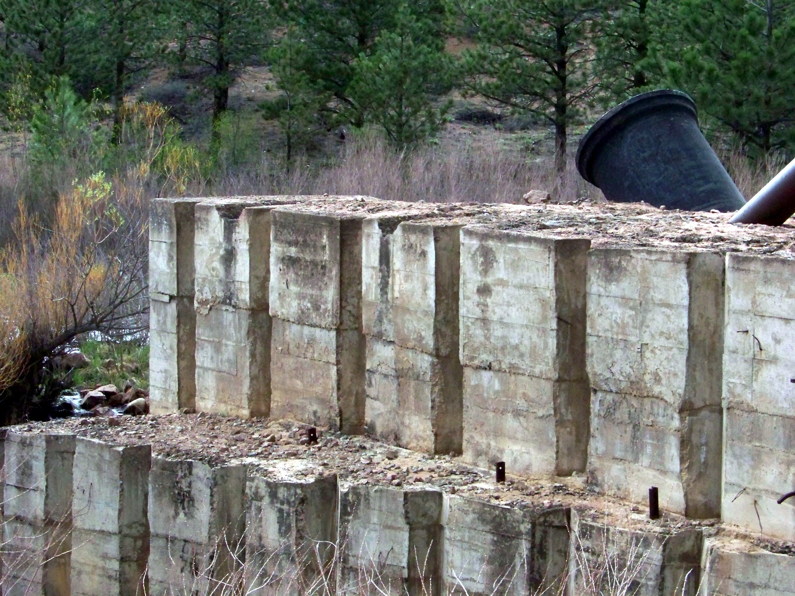
Chimney Rock Dam was built with the use of cofferdams, a cheaper method than diverting the river, but a practical solution only for small or medium-sized streams. Cofferdams are wooden frames that workers fill with weights to sink in the river. Once they have completely surrounded a section of riverbed with a series of cofferdams, the workers pump the enclosed area dry and excavate the riverbed down to bedrock. Then they build the dam up layer by layer. When one section of the dam has risen to a reasonable height, the workers move on to the next section, which they built up from the riverbed out of cofferdams in the same manner as the first.

Detail of the concrete layers used to construct the dam.

Detail of the concrete layers used to construct the dam.

Backside of Chimney Rock Dam.

Backside of Chimney Rock Dam.

A dam built section-by-section from cofferdams has channels in its base, which allow the river to flow unimpeded under the structure during construction. Once the dam tops out, the holes at the base of the dam are closed with gates that drop into place. Then the reservoir begins to fill up behind the dam, exerting pressure on the gates and keeping them sealed tightly shut.

Work never progressed this far on Chimney Rock Dam. Before the dam had even made it across the stream, all work stopped on it. The reason why the dam was abandoned was ultimately political, although a US Army Corps of Engineers audit also determined that the project was technically unfeasible. The dam was a pet project of Longmont’s short-lived Ku Klux Klan city government. Voted into office in the 1925 local elections, the Klan government initiated Chimney Rock Dam in 1926. During its short period of construction, the estimated final cost of the project ballooned from $85,000 to $350,000. Because of these and other excesses, Longmont’s Klan government quickly grew unpopular. Voters ousted the Klan from city government in the 1927 local elections.

What was the Klan doing in Colorado? Longmont’s brief electoral flirtation with the KKK was part of a major revival of the Klan during the 1920s. The first incarnation of the Klan had been based in the South during Reconstruction. The new Klan was reconstituted with its geographical center in the Midwest. During this period, the strongest Klan state was the thoroughly midwestern Indiana. The new Klan persecuted any group that they deemed different and un-American. In Colorado, they targeted Catholics and Mexicans.

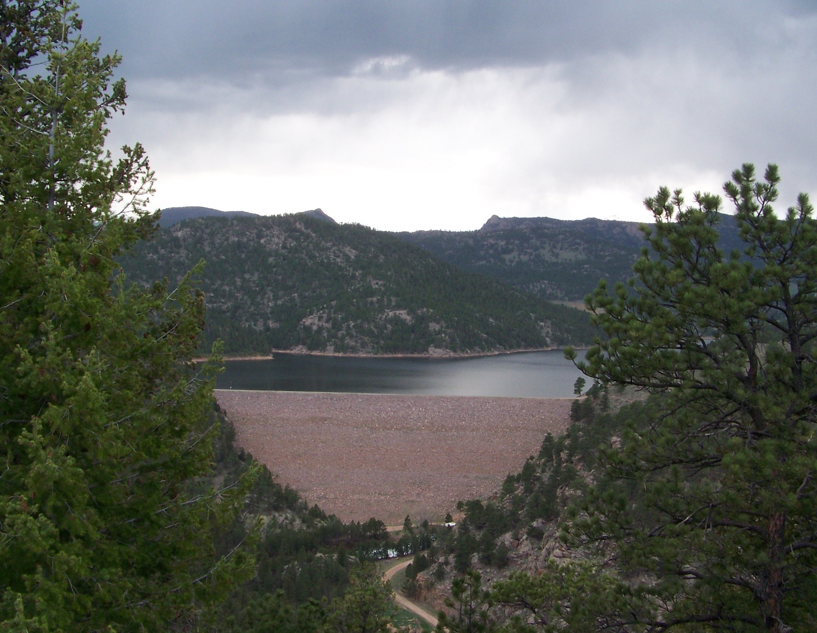
Sixty years after the abandonment of Chimney Rock Dam, Longmont finally got its own major dam for water storage on the St. Vrain River. Button Rock Dam, just upstream from Chimney Rock, was dedicated in 1969. Holding 16,084 acre-feet of water in its reservoir, the dam cost $5.2 million to build.
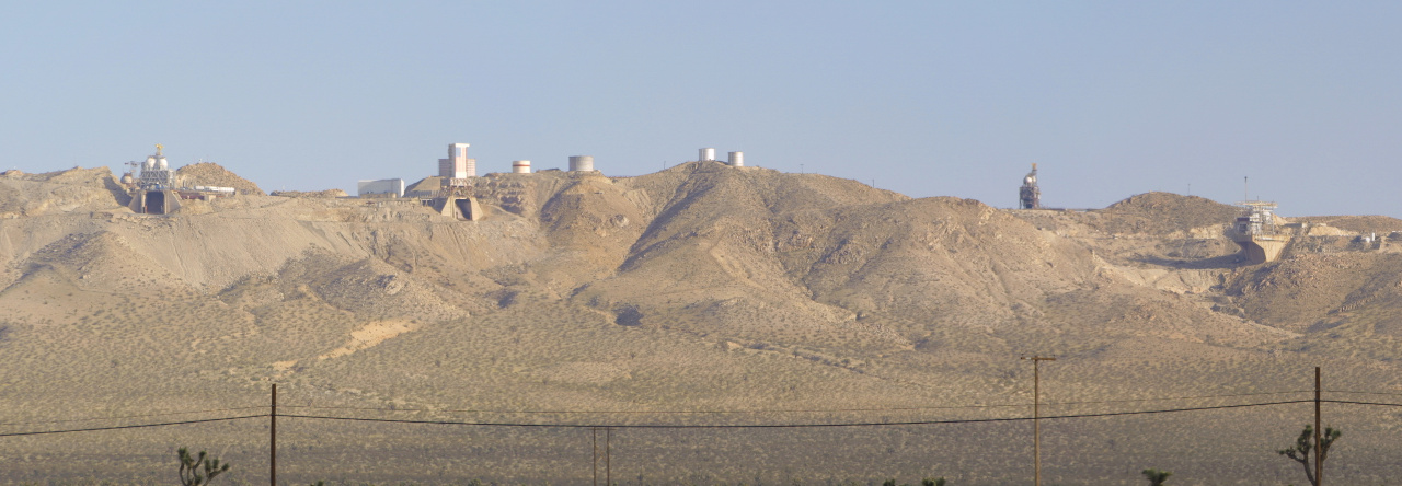
Button Rock Dam and Ralph Price Reservoir

Button Rock Dam and Ralph Price Reservoir.

Rebuilding bridges

In the nineteenth century, the American South’s carriage roads used to cross the region’s many streams and rivers by means of wooden truss bridges. Very few of these bridges have survived into the twenty-first century, having falling prey to fire, floods, storms, modernization—and in some cases, the Union Army. A few bridges have survived, tucked away in isolated, underpopulated areas. Perhaps because of their rarity, covered bridges have acquired romantic mythos, even though they were originally built for economic development, not romance.1 Websites like this one catalog the surviving covered bridges in the region.

It came as a surprise when I realized that my map of Lee County, Alabama indicated that there was a covered bridge not far from where I live. According to the map, the Salem-Shotwell Bridge was just off of US-280, the highway that runs from Opelika, AL to Columbus, GA. I followed the map out to the indicated location one Saturday afternoon. Before I quite got to the bridge, a sign planted in the middle of the road claimed: “Bridge Closed Ahead.”

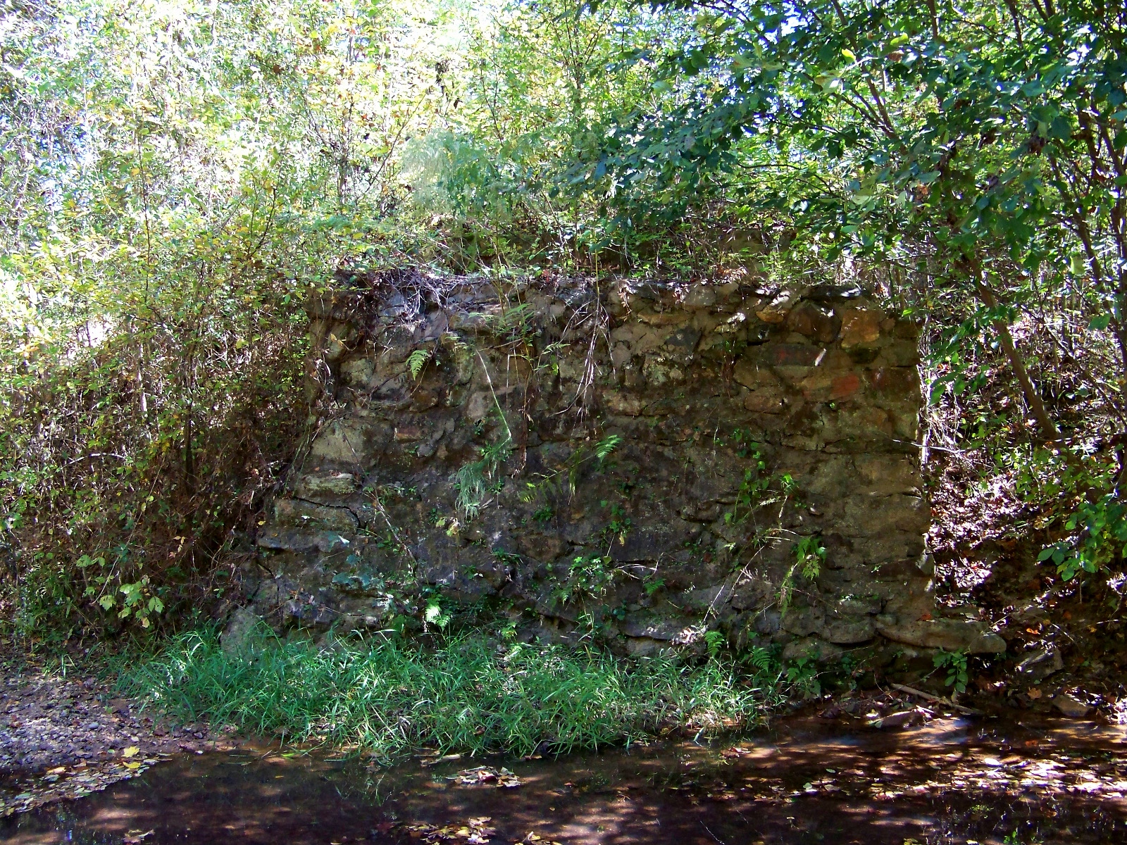
That was an understatement. As I got closer, I discovered that the bridge had vanished completely.

The forlorn original foundation of the Salem-Shotwell Bridge.

The forlorn original foundation of the Salem-Shotwell Bridge.

My map was more than a half-decade out of date. Come to find out, the bridge had broken in 2005, when a tree smashed into it during one of the fearsome thunderstorms that occur from time to time in the Alabama Piedmont.

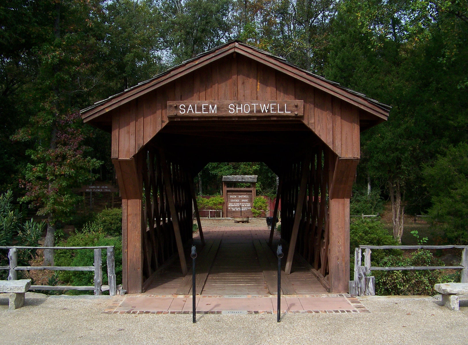
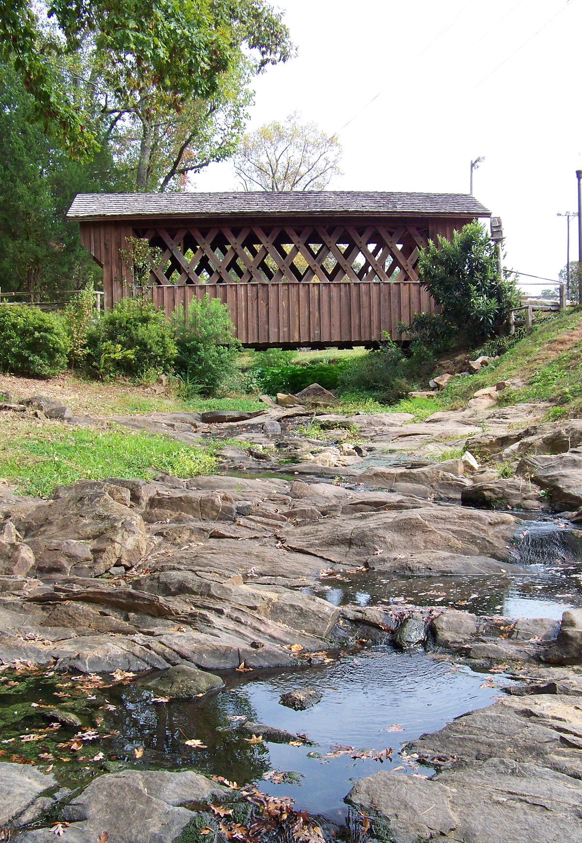
The Salem-Shotwell Bridge’s destruction was an unfortunate loss, but it was not a complete waste. Enough of the original timbers and roofing had survived undamaged for the bridge to be reconstructed, with a shorter span, over a creek in Municipal Park in Opelika.

The reconstructed Salem-Shotwell Bridge at its new location in Opelika Municipal Park.

The reconstructed Salem-Shotwell Bridge at its new location in Opelika Municipal Park.

Side view of the reconstructed Salem-Shotwell Bridge.

Side view of the reconstructed Salem-Shotwell Bridge.

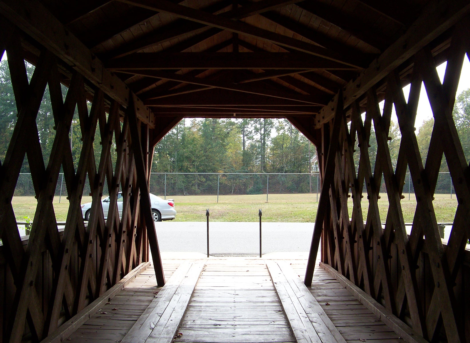
Interior of the Salem-Shotwell Bridge.

Interior of the Salem-Shotwell Bridge.

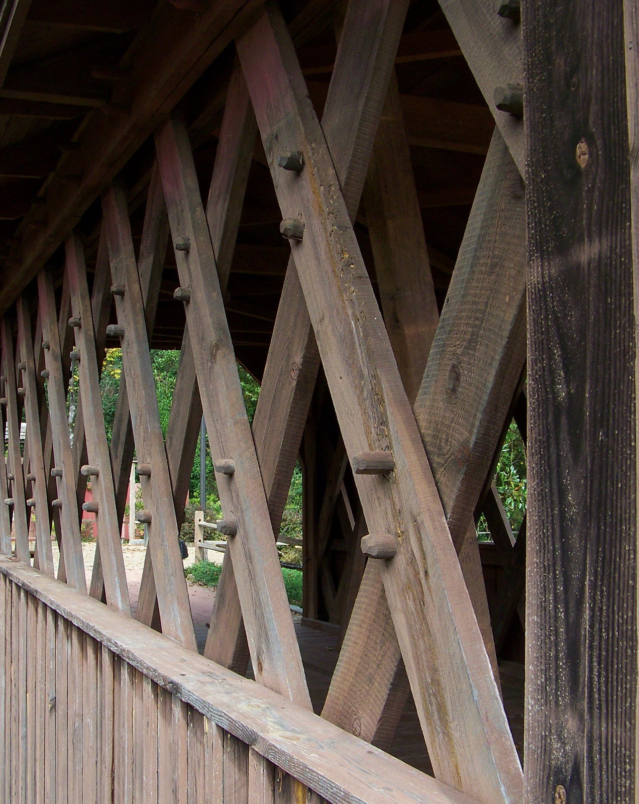
Detail of the Town Truss of Salem-Shotwell Bridge.

Detail of the Town Truss of Salem-Shotwell Bridge.

Some of the leftover parts were used for the sign that identifies the bridge:

Wasting well: the bridge sign, made from unused parts of the original bridge.

Wasting well: the bridge sign, made from unused parts of the original bridge.

The underside of the bridge holds a secret: steel I-beams, which support the weight of the reconstructed bridge. The original wooden truss (known as a Town Truss, after its inventor) is now just for show.

I-beams or no I-beams, I’m glad that the Salem-Shotwell Bridge was reconstructed. Its reconstruction is an example of what Kevin Lynch would call wasting well. Even in its present state, the bridge teaches anybody who sees it a little about the past.

  1. A good book about southern covered bridges and their mythos is John S. Lupold and Thomas L. French, Bridging Deep South Rivers: The Life and Legend of Horace King (Athens: University of Georgia Press, 2004). []
roosevelt-island-pan_3326px

Wasting Well on the High Line

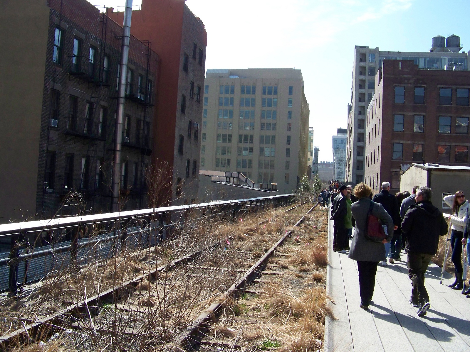
New York City’s High Line is the most unusual park I have seen. The park occupies an abandoned rail bed in lower Manhattan. Reuse of redundant industrial spaces—what Kevin Lynch called “wasting well”—is not uncommon in cities in the deindustrializing West. What is unusual is that the park’s rail line is elevated above street level. It was originally built in the 1930s to remove dangerous freight trains from Manhattan’s crowded streets. Traffic on the line declined during the 1960s, and the last train ran on it in 1980. During its decades of disuse and abandonment, the rail bed grew over with wild vegetation. Threatened with demolition, the line was saved by a group known as Friends of the High Line, which successfully lobbied to have the abandoned structure converted into a park. The first phase of the High Line Park opened in 2009.

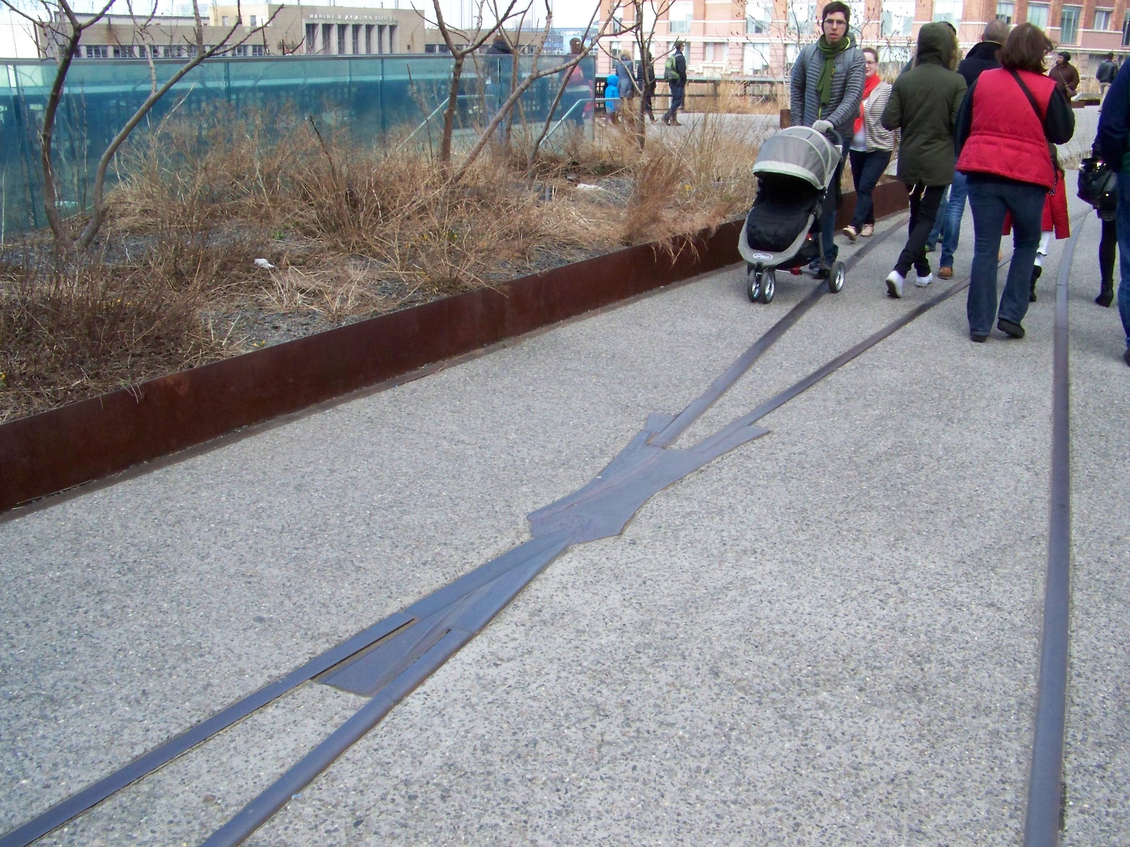
The High Line’s conversion into a park did not obscure the place’s past lives as a functioning rail line or a derelict structure. As far as possible, the redevelopers left the original rails in place, or reinstalled them. In some places, the rails run alongside the park’s paved pathway. Elsewhere, the rails have been integrated directly into the pavement.

View of High Line Park.

View of High Line Park.

Rails integrated into the pavement.

Rails integrated into the pavement.

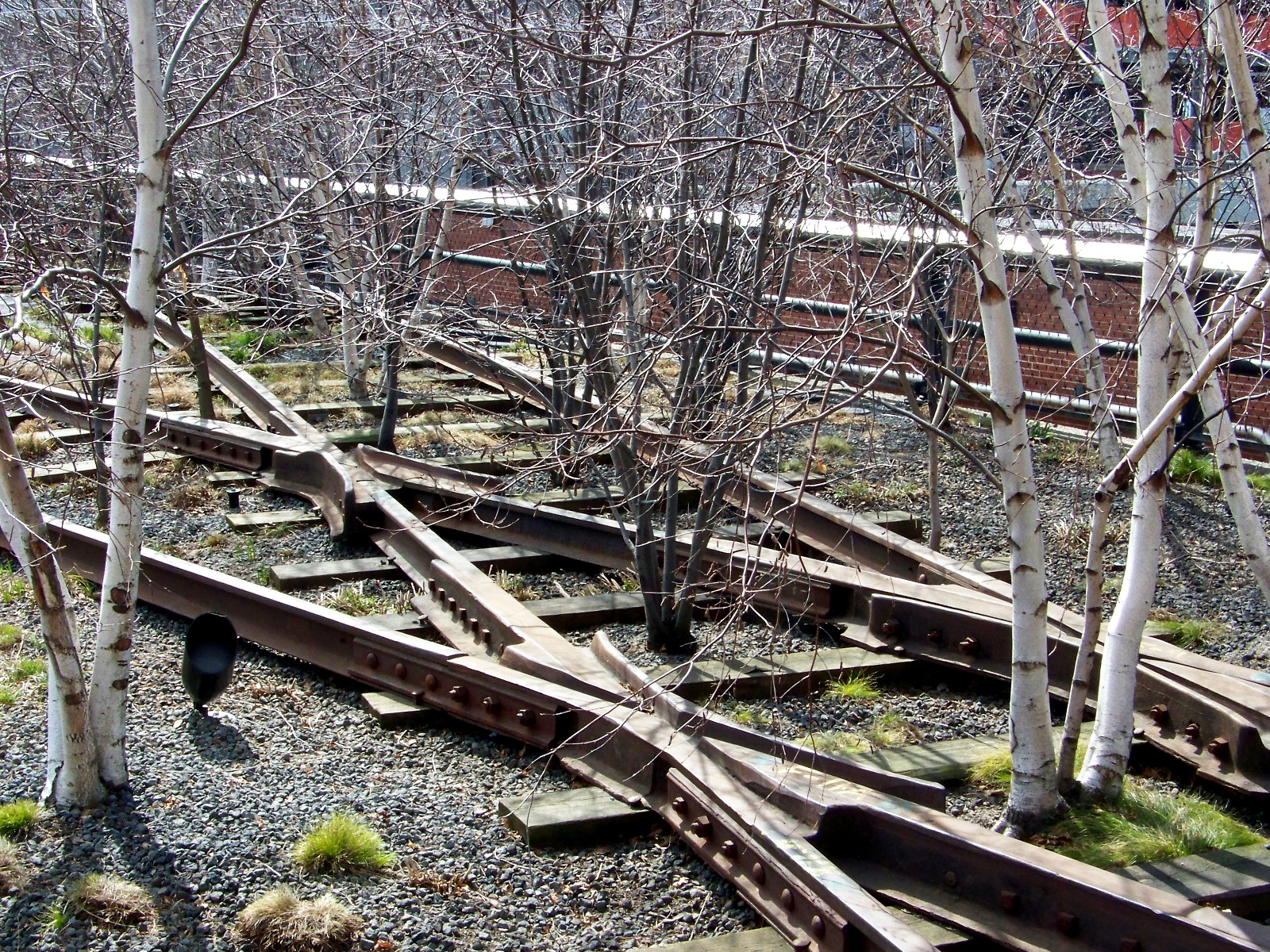
The park’s landscaping emphasizes the post-industrial nature of the site. Trees grow between the ties of the abandoned tracks.

Trees growing through the rails.

Trees growing through the rails.

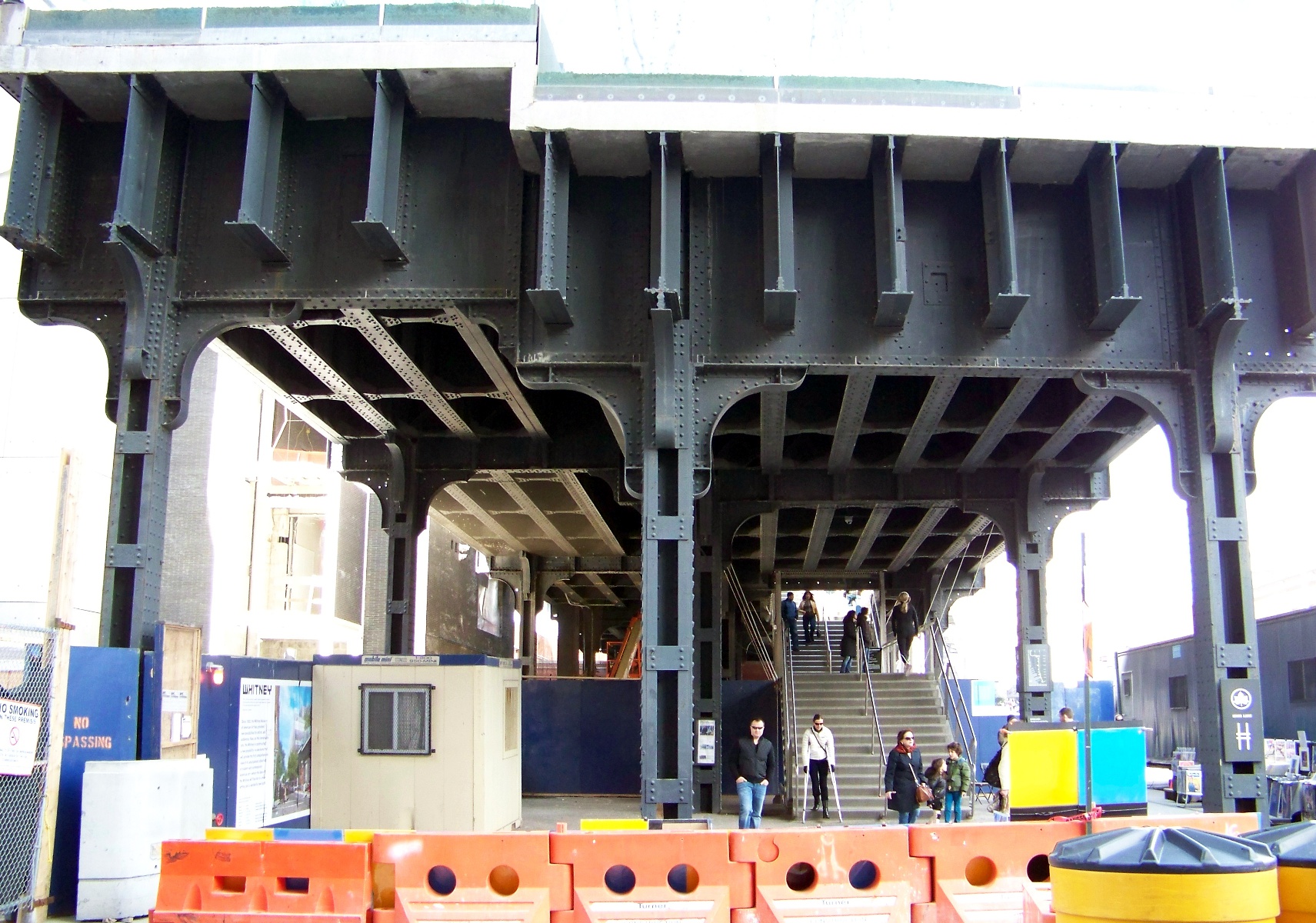
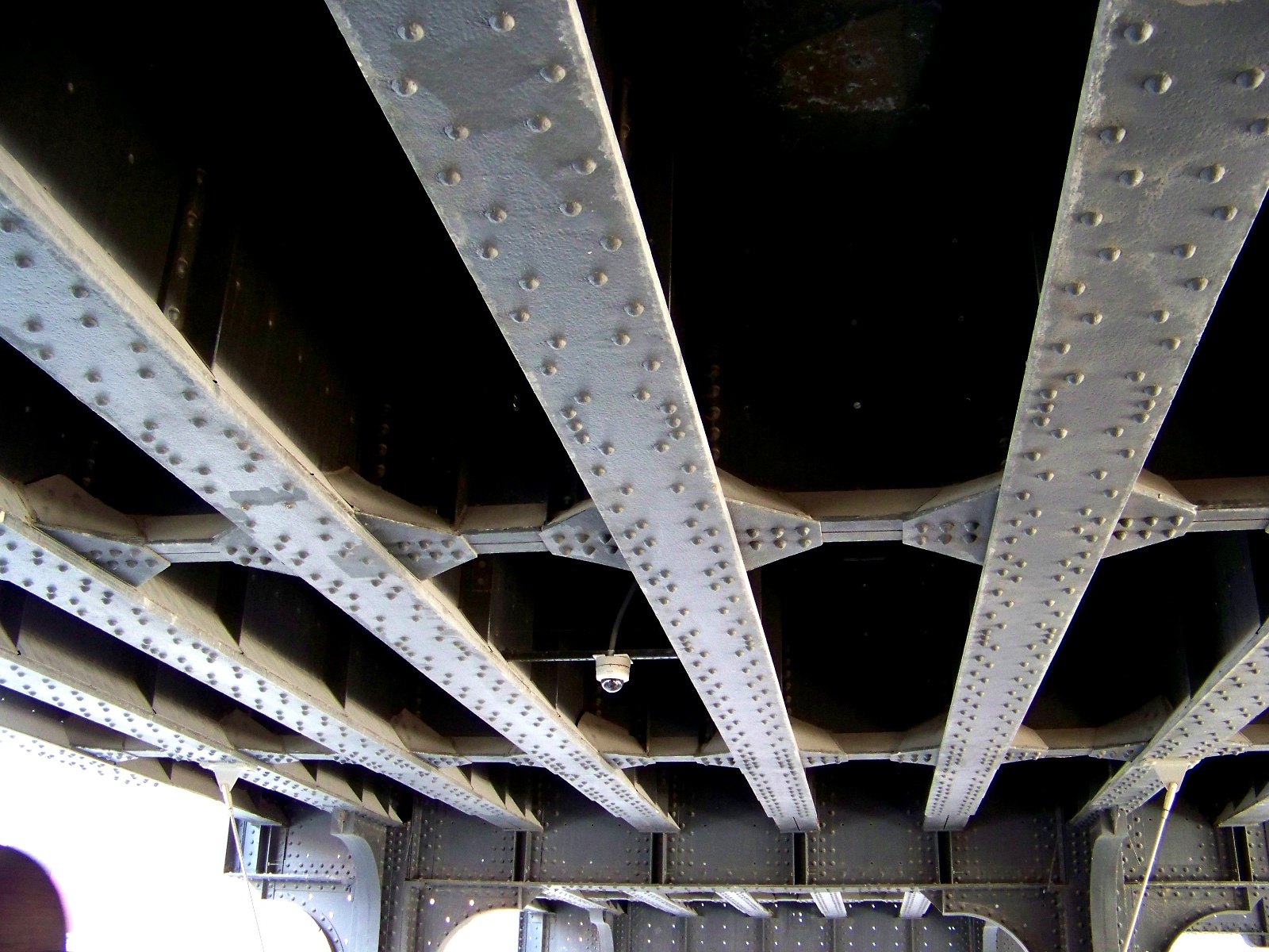
The current southern end of the High Line ends abruptly where the remainder of the original line was chopped off to make room for new development. The park’s developers left the cut open, allowing a glimpse of the heavy steel structure that was strong enough to hold freight trains above the street.

The southern terminus of the High Line.

The southern terminus of the High Line.

The substructure of the High Line.

The substructure of the High Line.

Since the early period of the republic, Americans have had a reputation for always wanting to throw away the old in favor of the new. This reputation is not undeserved. Americans built much of their industrial infrastructure cheaply, in the belief that something new and better would have come along by the time their infrastructure wore out. In the mid-nineteenth century, when the British were making railway viaducts out of stone so they would last forever, the Americans were making theirs out of wood, which was cheap but not durable. The ruins of abandoned rail lines can be seen all over the country, especially in places such as the mountain West where they have not been replaced by new development.1

In the latter half of the twentieth century, some Americans finally started to realize that the Old, as well as the New, has use and value. The High Line Park is one example of the Old being put to a creative and interesting New use.

  1. Arnold Pacey contrasts the nineteenth-century British interest in monumentality and permanence with the contemporary American obsession with newness in The Maze of Ingenuity: Ideas and Idealism in the Development of Technology, 2nd ed. (Cambridge, MA: MIT Press, 1992), 209-15. []

Page 2 of 2

Powered by WordPress & Theme by Anders Norén