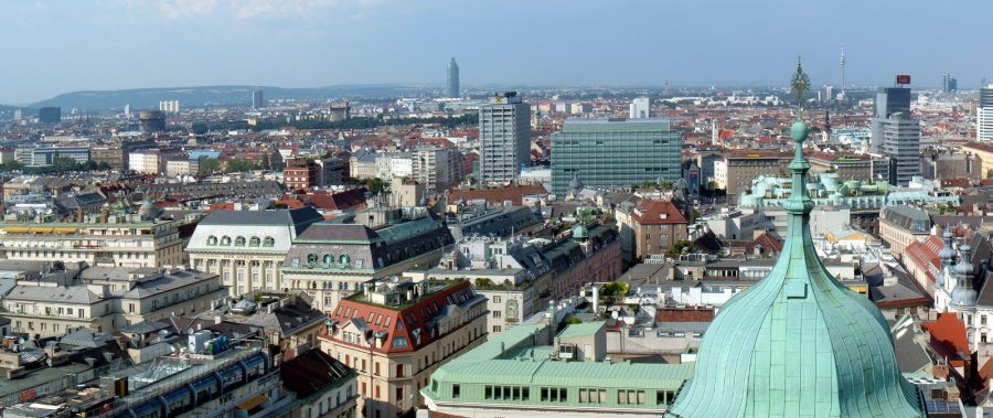
The most picturesque part of Vienna, a city known for its beauty, is Ringstrasse, the Ring Road that encircles the oldest part of the city. The broad, attractive road wraps around three sides of the historic city center, with the Danube River closing the loop to the north. Many of the city’s most important cultural and civic buildings line Ringstrasse, including the opera house, Rathaus (town hall), the Austrian parliament, and an assortment of museums and libraries.
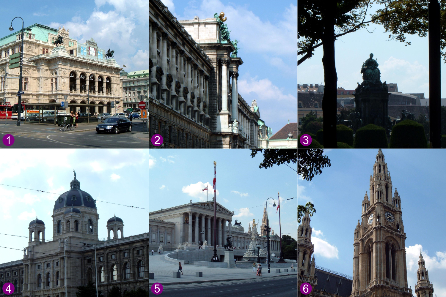
Monuments on Ringstrasse in Vienna: 1) Staatsoper (1869); 2) Hofburg (1881-1913); 3) Maria-Theresien-Platz (1889); 4) Naturhistorisches Museum (1889); 5) Parlement (1883); 6) Rathaus (1883).
Ringstrasse is a legacy of the Austrian Empire, when Vienna was the capital of a multi-ethnic, polyglot empire eight times the size of Austria today. Emperor Franz Josef, who reigned from 1848 to 1916, spearheaded the development and beautification of his capital city early in his reign. In 1857, he authorized the most dramatic change to the city: demolishing the old defensive works to make room for Ringstrasse and the buildings alongside it.
But what were these defensive works that made way for Ringstrasse? When I first learned about Ringstrasse on a wonderful but brief visit to Vienna eleven years ago, I had the impression that they were medieval walls, made of stone. This didn’t really make sense to me, though, because medieval walls, such as those that still stand in Rothenburg, do not take up much space—not nearly as much as Ringstrasse and the neighboring buildings. In fact, Vienna had been defended by early-modern fortifications. The city’s medieval walls had been torn down and rebuilt in the sixteenth and seventeenth centuries to defend against the Ottoman Turks. A large open area in front of the defensive works, known as the glacis, was kept clear to offer a clear field of fire. The buildings of Ringstrasse were constructed on the land that had been kept open for the glacis.
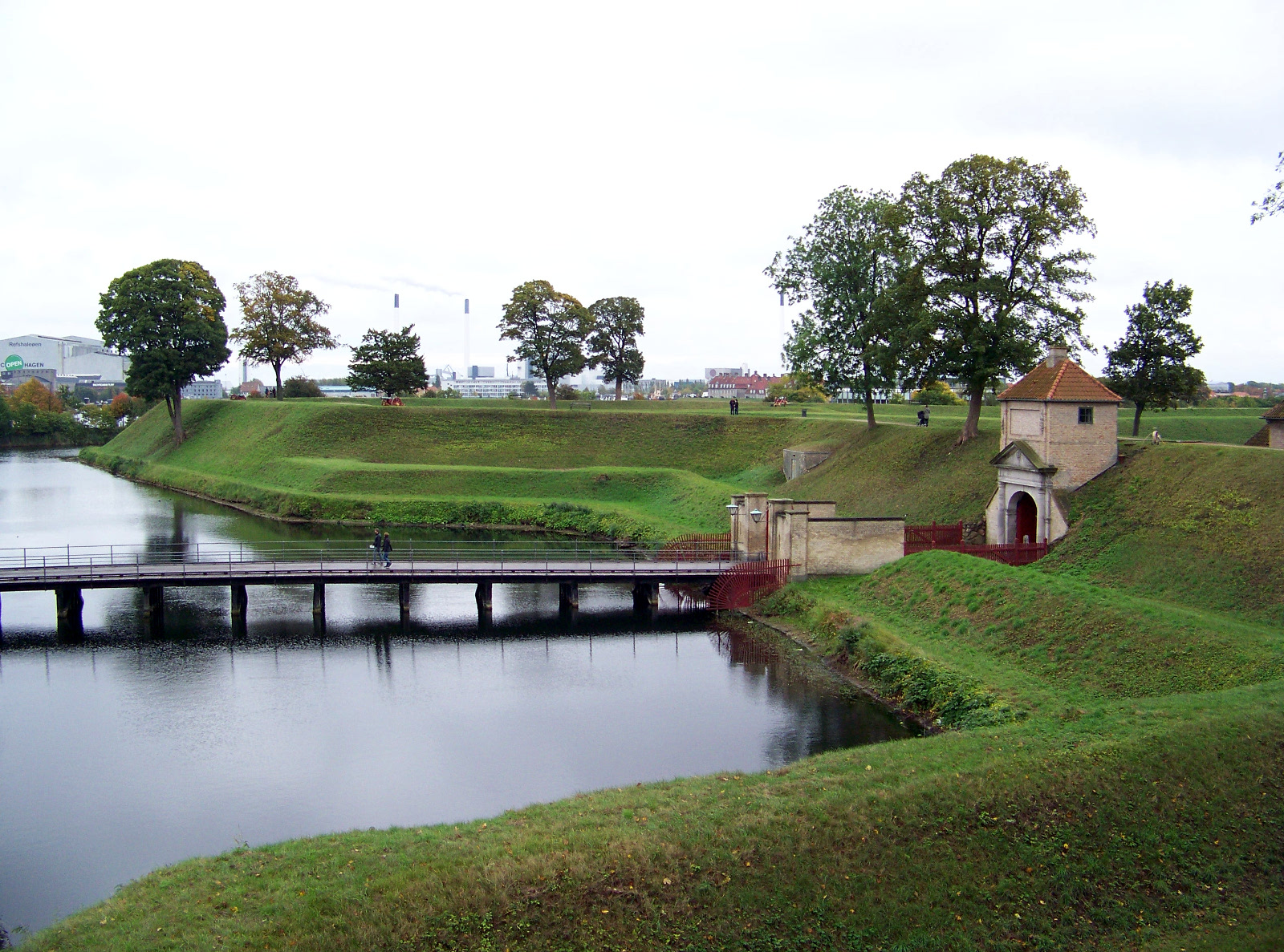
Early-modern defensive works had a low profile and a large footprint. Consisting mostly of large earthen berms, the fortifications were designed to defend against the offensive weapon of the age: the smooth-bore cannon. The earthworks absorbed the impact of cannonballs, which could easily shatter stone defenses. These early-modern defenses were in vogue until the introduction of rifled-bore artillery, which made its debut in the American Civil War.
Many (but not all) early modern-fortifications had triangular projections at regular intervals along the berms or walls—the origin of the nickname “star fort.” The projections allowed soldiers standing on them to shoot at attackers from either side, trapping them in enfilading fire. An 1858 map of Vienna, drawn before the old defenses were demolished, shows triangular projections at regular intervals along the wall.
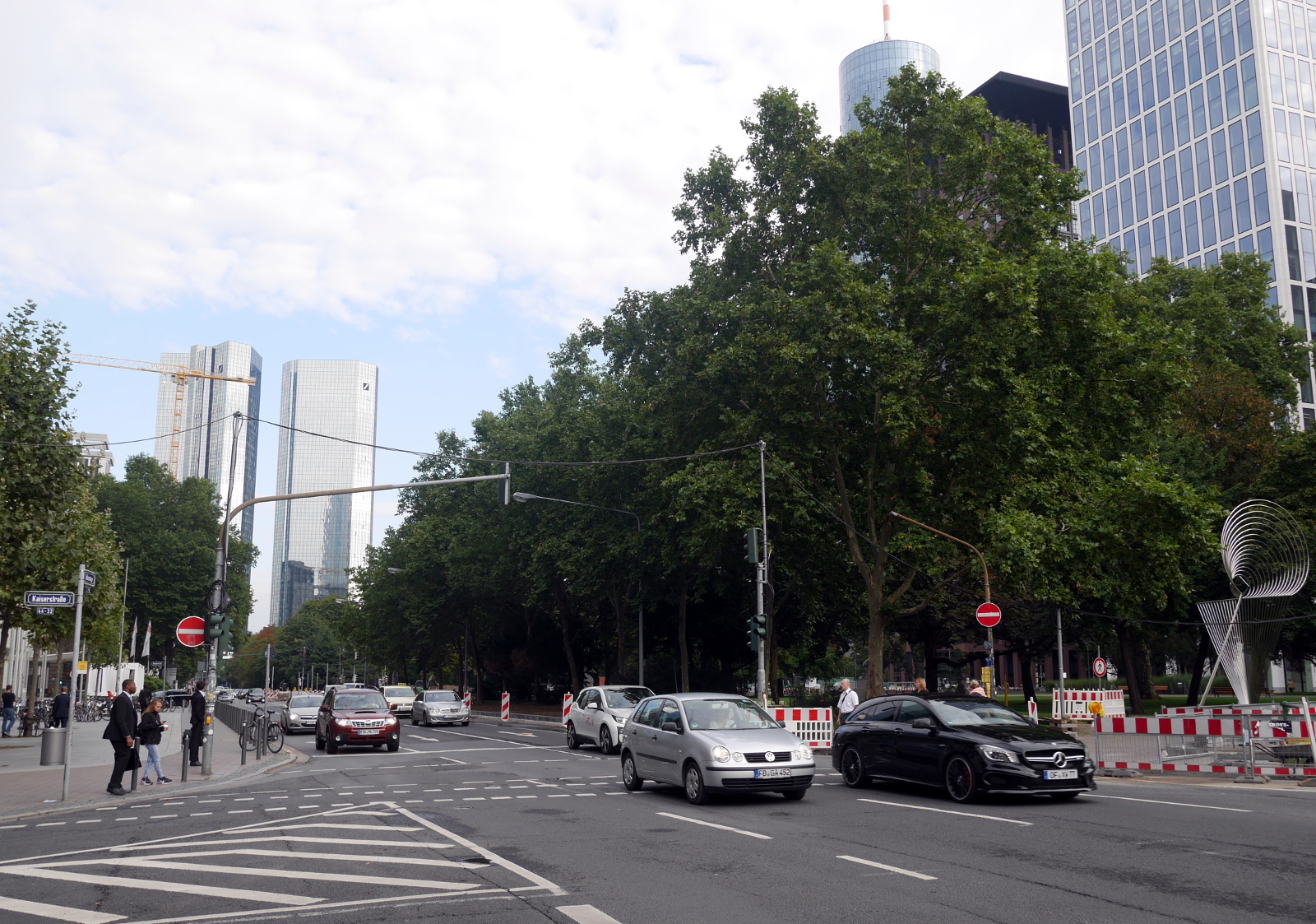
Another city that once had early-modern fortifications, but does no longer, is Frankfurt. The German city’s approach to using the land freed up by the demolition of the defenses was different from Vienna’s. The land once occupied by Frankfurt’s defenses is now taken up by a park that wraps around the historic city center. Even some of the triangular star-fort projections have been converted into parkland. They are visible on modern maps of the city—a telltale sign that this park was once an early-modern fortification.
Links
- “Reorganizing the city, from the city walls to the Ringstrasse” on Habsburger.net
- Fort Morgan, at the mouth of Mobile Bay, Alabama, is doubtless one of the best-preserved and most attractive star forts in the United States.
- Fort Pulaski, near Savannah, Georgia, was the first fort to be bombarded into submission by rifled-bore artillery, during the American Civil War.
